







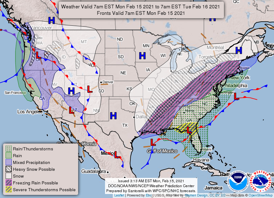
Chattooga County and Northwest Georgia are just east of the leading edge of a huge winter weather maker that is affecting areas from the Mid-South all the way to Canada. Monday morning temperatures remained in the mid to upper thirties across Chattooga County preventing any freezing precipitation. That is not the case just to the west of us in Alabama and Mississippi and Tennessee – stretching all the way back to Arkansas, Louisiana and Texas where ice and snow is causing problems this morning.
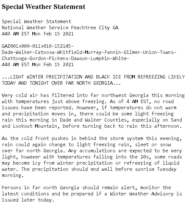
The National Weather Service is leaving the door open for a Winter Weather Advisory for Chattooga County and Northwest Georgia later today, but for now NOAA has issued a “Special Weather Statement” for the area:
For our neighbors to the west in DeKalb County, Alabama, a Winter Storm Warning has been issued due to the expected ice and snow. Ice accumulations of up to a half-inch could cause some problems, especially for higher elevation areas like Henagar and Mentone, Alabama. Of course, when there is ice and snow at Mentone, that is a good indication that the Cloudland area just across the state line in Chattooga County could see the same conditions.
Channel 12 and WZQZ Meteorologist Patrick Core says that we will see a cold rain today, but there is a good chance that rain could switch over to ice and snow in the early morning hours of Tuesday. Refreezing of moisture on the roadways could cause some travel issues early on Tuesday, but temperatures are expected to climb above freezing before noon tomorrow.
WZQZ will continue to keep an eye on the weather and the latest forecasts.
Comments