


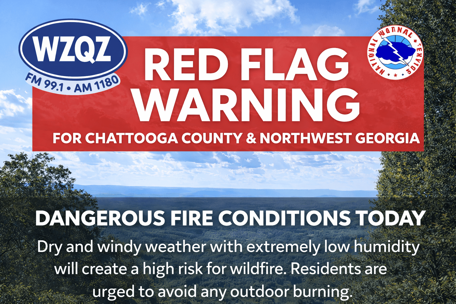
High fire danger conditions are expected to return across Chattooga County and much of Northwest Georgia today as very warm, dry weather continues to grip the region.
A Red Flag Warning has been issued for far north Georgia, including areas near Chattooga County, from noon through 8:00 p.m. Sunday. Officials say a combination of low humidity, dry vegetation, and breezy winds will create conditions where fires can start easily and spread quickly.
Forecasters say temperatures will climb well above normal, reaching into the mid to upper 80s across North Georgia—more than 10 degrees above average for this time of year. At the same time, humidity levels are expected to drop into the 20 to 25 percent range, significantly increasing wildfire risk.
Winds will also play a role, with gusts up to 15 to 25 miles per hour possible in higher elevations, further fueling fire danger throughout the afternoon and evening hours.
While conditions may improve slightly on Monday as humidity levels rise, the overall pattern remains concerning. A strong high-pressure system is expected to keep warm and dry weather locked in across the region for at least the next week, with little to no meaningful rainfall in sight.
Meteorologists say rain chances will remain below 10 percent through much of the upcoming week, meaning drought conditions across Northwest Georgia—including Chattooga County—are likely to worsen.
Looking ahead, temperatures could climb even higher by mid to late week, with some areas approaching record highs in the upper 80s to low 90s. That would put temperatures as much as 15 to 20 degrees above normal.
Emergency officials are urging residents to avoid outdoor burning and to use extreme caution with anything that could spark a fire. Even small flames can quickly get out of control under these conditions.
With dry weather expected to persist and no significant rainfall on the horizon, fire danger will remain a major concern across Chattooga County and Northwest Georgia in the days ahead.
Comments