


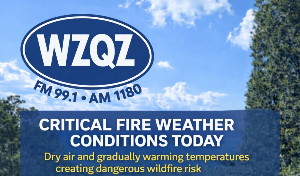
Dry air, clear skies, and gradually warming temperatures are creating dangerous fire weather conditions across Chattooga County and Northwest Georgia today, with concerns expected to continue through the rest of the work week.
Forecasters say the region will stay dry through at least Friday, allowing fire danger to build each afternoon. Even though temperatures are starting the week near seasonal normals, the combination of low humidity, dry vegetation, and warming conditions will make outdoor burning especially risky.
High temperatures today are expected to reach the upper 60s in the north Georgia mountains and the mid to upper 70s across much of the area. After another cool night tonight, temperatures will climb into the upper 70s to low 80s on Tuesday, with mid to upper 80s possible by midweek.
The dry and warm pattern is expected to hold through Wednesday, Thursday, and Friday, keeping fire weather concerns in place daily. Relief may finally arrive this weekend as a front moves toward the region and brings increasing chances for rain. While rainfall totals remain uncertain, any rain would be welcome as drought conditions continue to affect the area.
Residents in Chattooga County and across Northwest Georgia are urged to use extreme caution with anything that could spark a fire, especially during the afternoon hours when conditions are at their worst.
Comments