










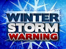
...WINTER STORM WARNING NOW IN EFFECT FROM 5 AM FRIDAY TO 7 AM EST
SATURDAY...

* WHAT...A mix of multiple winter precipitation types are expected.
  Total snow and sleet accumulations up to 3 inches and ice
  accumulations up to one third of an inch are possible.

* WHERE...Portions of central, east central, north central,
  northeast, northwest, and west central Georgia.

* WHEN...From 5 AM Friday to 7 AM EST Saturday.

* IMPACTS...Roads, and especially bridges and overpasses, will
  likely become slick and hazardous. Significant ice accumulation on
  power lines and tree limbs may cause widespread and long-lasting
  power outages. Power outages and tree damage are likely due to the
  ice. Travel could be nearly impossible. The hazardous conditions
  could impact the Friday morning and evening commutes.

* ADDITIONAL DETAILS...Ice accumulations have been increased across
  portions of the I20 and I85 corridors.  Additional changes to ice
  and snow amounts are possible with future forecast updates.

PRECAUTIONARY/PREPAREDNESS ACTIONS...

If you must travel, keep an extra flashlight, food, and water in
your vehicle in case of an emergency. The latest road conditions for
the state you are calling from can be obtained by calling 5 1 1.
Comments