


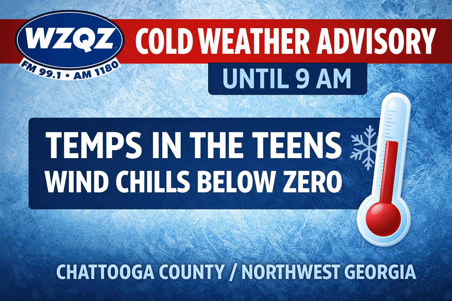
A Cold Weather Advisory remains in effect this morning until 9 AM as temperatures in the teens are being reported across Chattooga County and the greater Northwest Georgia area. Very cold wind chills ranging from 5 below to 5 above zero are being observed, creating dangerous conditions for anyone exposed for extended periods of time.
Temperatures at 5 AM:
Summerville – 13
Rome – 15
Armuchee – 16
LaFayette – 11
Mentone, AL – 9
Gaylesville, AL – 15
Residents are urged to avoid prolonged exposure to the cold if possible and to use safe heating sources, especially for those who may still be dealing with power outages. Extra care should be taken when traveling outdoors, and people should dress in warm layers, including hats and gloves. Officials also encourage frequent checks on elderly family members, friends, and neighbors. Portable heaters should be used properly, and generators or grills should never be operated indoors.
Dry conditions are expected in the short term due to strong surface high pressure and upper-level atmospheric flow favoring sinking air. While relative humidity will be low enough to draw attention from fire weather officials, recent precipitation and lighter wind conditions are expected to limit fire danger, and no Fire Danger Statement is anticipated at this time.
Looking ahead, cold temperatures will persist through the weekend and into early next week as a broad trough and cool air mass remain in place across the region. Overnight lows are expected to stay in the teens and 20s through Monday morning, with daytime highs mainly in the 40s. A developing system along the Texas Gulf Coast late Thursday night is forecast to move east across the Gulf and strengthen before reaching Florida by Saturday. As this system moves up the eastern seaboard, moisture on the back side of the low could bring light rain to Northwest Georgia on Friday, possibly changing to light snow Friday night into Saturday morning before exiting the area Saturday afternoon. Any snow accumulations are expected to be light, if they occur at all, with the best chance for minor accumulation across eastern portions of the state.
Comments