


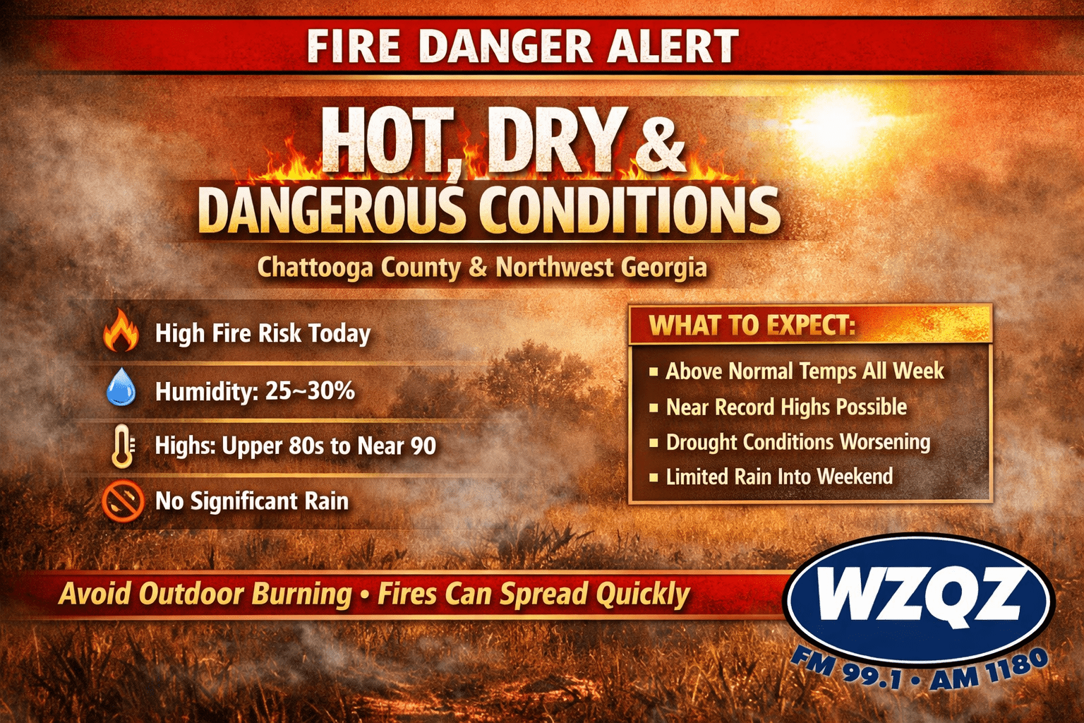
The current weather pattern is being driven by strong high pressure settled over the Southeast, effectively blocking rain-producing systems from reaching Georgia. This setup has created a persistent stretch of dry air, sunny skies, and steadily warming temperatures. Afternoon humidity values are expected to fall as low as 25 to 30 percent, while dry vegetation and forest fuels continue to worsen the fire threat.
Temperatures across Chattooga County and surrounding areas are running significantly above seasonal averages. Highs are climbing into the mid and upper 80s, with some locations pushing toward 90 degrees by midweek. These readings are 10 to 15 degrees above normal for mid-April, and several communities in Northwest Georgia could challenge or even break daily record highs through Wednesday and beyond.
Overnight conditions are offering little relief, with lows only dipping into the upper 50s and low 60s. This lack of cooling, combined with continued dry weather, is accelerating the drying of soil and vegetation.
Unfortunately, there is little indication of meaningful rainfall in the near future. Forecast models show that any potential rain systems later this week will likely remain weak and moisture-starved. Even looking into the weekend, only slight rain chances are expected, and forecasters say any showers that do develop will not be enough to significantly improve the ongoing drought.
Much of North and Central Georgia, including Northwest Georgia, is already experiencing severe to extreme drought conditions. Without substantial rainfall, those conditions are expected to worsen through the remainder of the week and into the weekend.
Fire officials are strongly urging residents to avoid outdoor burning and to exercise extreme caution with any activity that could produce sparks, including grilling, equipment use, and debris burning. Even small flames can quickly grow out of control under these conditions.
Authorities emphasize that staying alert and taking precautions now can help prevent dangerous wildfire situations as the region heads deeper into this unusually warm and dry stretch.
Comments