


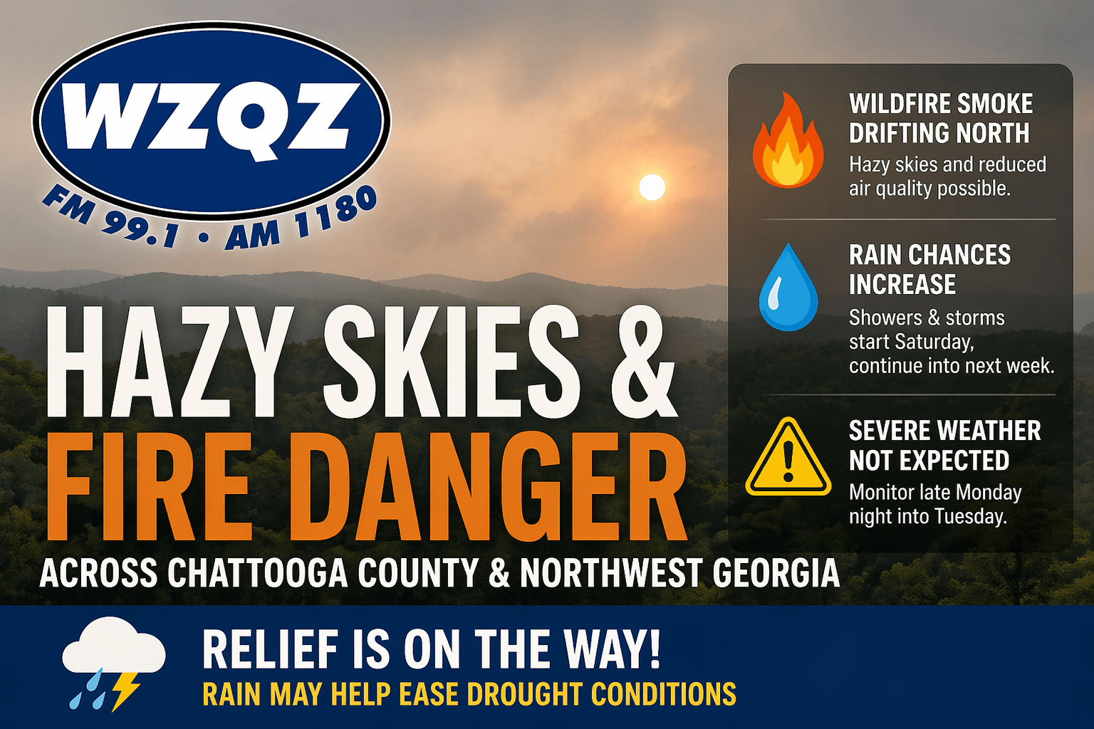
Chattooga County and much of Northwest Georgia will continue to deal with hazy skies today as wildfire smoke drifts north from South Georgia and North Florida. The smoke may create milky-looking skies and could lead to reduced air quality in some areas, especially where winds remain lighter.
The dry pattern is also keeping fire danger concerns elevated. Forecasters say relative humidity values may drop low enough to increase the risk of outdoor fires spreading quickly. Residents are urged to use caution with outdoor burning and to follow any local burn restrictions or bans.
Temperatures will remain warm, with highs climbing into the 80s across much of the region. A few isolated showers may try to develop later today, but most communities are expected to stay dry through the end of the work week.
Relief could arrive this weekend as a cold front moves toward Georgia. Showers and thunderstorms are expected to increase late tonight into Saturday, with rain chances continuing through the middle of next week. Widespread severe weather is not expected at this time, but forecasters say the pattern will need to be monitored, especially late Monday night into Tuesday when a stronger system could bring a conditional risk for strong storms.
Rainfall totals through Tuesday could be beneficial, particularly across North Georgia, where some areas may receive more than an inch of rain. That moisture may help ease dry ground and ongoing drought concerns, though locally higher totals are possible where stronger storms develop.
WZQZ News will continue to monitor conditions across Chattooga County and Northwest Georgia.
Comments