


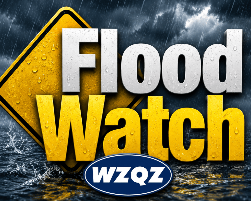
Residents across Chattooga County and Northwest Georgia are being urged to remain weather-aware today as a Flood Watch remains in effect until 9:00 p.m. Monday due to the threat of excessive rainfall and flash flooding.
Persistent rain on Sunday led to some flooding in Summerville on Sunday afternoon, and additional rainfall today could create more problems in low-lying and flood-prone areas. According to the National Weather Service, a moisture-rich weather pattern remains in place across North Georgia, creating favorable conditions for repeated rounds of showers and thunderstorms throughout the day.
Forecasters say the greatest concern today is not severe weather in the traditional sense, but rather the potential for storms to repeatedly move over the same locations. This pattern can quickly lead to excessive rainfall totals and rapid rises in creeks, streams, and drainage areas. Flood-prone roadways, low-lying neighborhoods, and areas near bodies of water could be particularly susceptible to flooding.
A Flood Watch has been issued for portions of Northwest Georgia, including Chattooga County, as meteorologists monitor the possibility of additional rainfall totals of one to two inches, with locally higher amounts possible where thunderstorms persist. Some isolated locations could receive significantly higher totals if storms repeatedly track across the same area.
In addition to heavy rain, thunderstorms that develop today may also produce frequent lightning and gusty winds. Anyone spending time outdoors should have a way to receive weather alerts and be prepared to seek shelter quickly if thunderstorms approach.
The unsettled weather pattern is expected to continue through much of the week. Daily chances for showers and thunderstorms will remain in the forecast across North and Central Georgia through the upcoming weekend. Forecasters are also monitoring the potential for deeper tropical moisture to move northward from the Gulf in the coming days, which could enhance rainfall rates across the region.
Temperatures today are expected to remain below typical early June levels due to extensive cloud cover and periods of rain. High temperatures will generally remain in the 70s across much of North Georgia.
Emergency officials remind residents to never drive through flooded roadways. Just a small amount of moving water can be enough to sweep a vehicle off the road. Motorists should use caution during periods of heavy rainfall and allow extra travel time if conditions deteriorate.
Residents are encouraged to stay informed throughout the day by monitoring forecasts, weather alerts, and local conditions as the threat for flooding continues across Chattooga County and Northwest Georgia.
Comments