


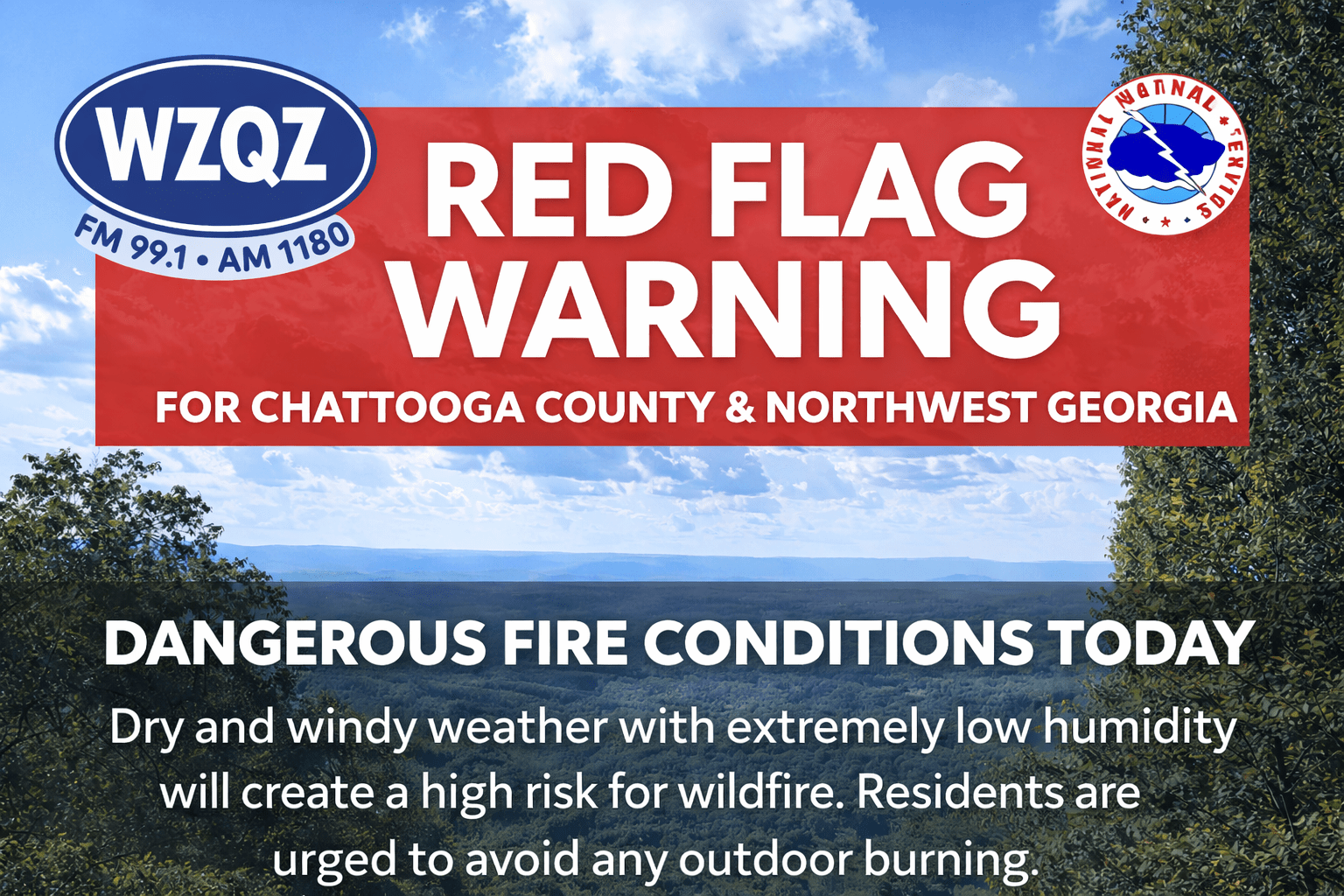
Residents across Chattooga County and the wider Northwest Georgia region are being urged to use extreme caution today as a Red Flag Warning remains in effect because of dangerous fire weather conditions.
The warning covers North and Central Georgia, including Chattooga County, where a combination of very dry air, gusty winds, and ongoing drought conditions is creating an environment where fires can start easily and spread quickly. Forecasters say northwest winds behind a passing cold front have already pushed drier air into the area, helping set the stage for elevated wildfire danger through the day.
A Red Flag Warning is issued by the National Weather Service when critical fire weather conditions are occurring or are expected soon. In simple terms, it means outdoor conditions are especially favorable for wildfires. That usually happens when humidity drops very low, winds become strong or gusty, and vegetation is dry enough to ignite quickly.
That is exactly what is happening across Northwest Georgia today. Meteorologists expect relative humidity values to fall into the teens by this afternoon, which is extremely low. When the air gets that dry, grass, leaves, brush, and other vegetation lose moisture and can catch fire much more easily. Add in occasional wind gusts, and any fire that starts could spread in a hurry.
Because of that risk, residents are strongly encouraged to avoid any outdoor burning today. That includes burning leaves or brush, unattended campfires, and even activities that could accidentally throw sparks. Officials want people to remember that under Red Flag conditions, something as small as a discarded cigarette or a spark from machinery could potentially ignite a wildfire.
Aside from the fire danger, the overall weather pattern remains dry and warmer than normal. Afternoon highs today are expected to stay in the 60s across much of the area, with cooler temperatures in the mountains. Overnight lows will fall into the 40s, with 30s possible in higher elevations. Sunday should bring similar weather, with temperatures a few degrees warmer.
Looking ahead, forecasters say the dry stretch will continue into early next week. A strong ridge of high pressure is expected to build over the Southeast, pushing temperatures into the mid to upper 70s on Monday and into the 80s by Tuesday. Rain chances are expected to remain near zero during that time, which means the dry conditions will continue.
The next meaningful chance for rain is expected to hold off until Wednesday, when moisture begins to return to Georgia. From midweek into next weekend, daily rain and thunderstorm chances are expected to increase. At this point, forecasters are not anticipating a widespread severe weather outbreak, but they say it is a pattern worth monitoring as the week unfolds.
Until that rain arrives, Chattooga County and the rest of Northwest Georgia will remain vulnerable to dangerous fire conditions. Residents are encouraged to stay weather-aware, use caution outdoors, and follow any local burn restrictions or safety guidance that may be issued.
Comments