


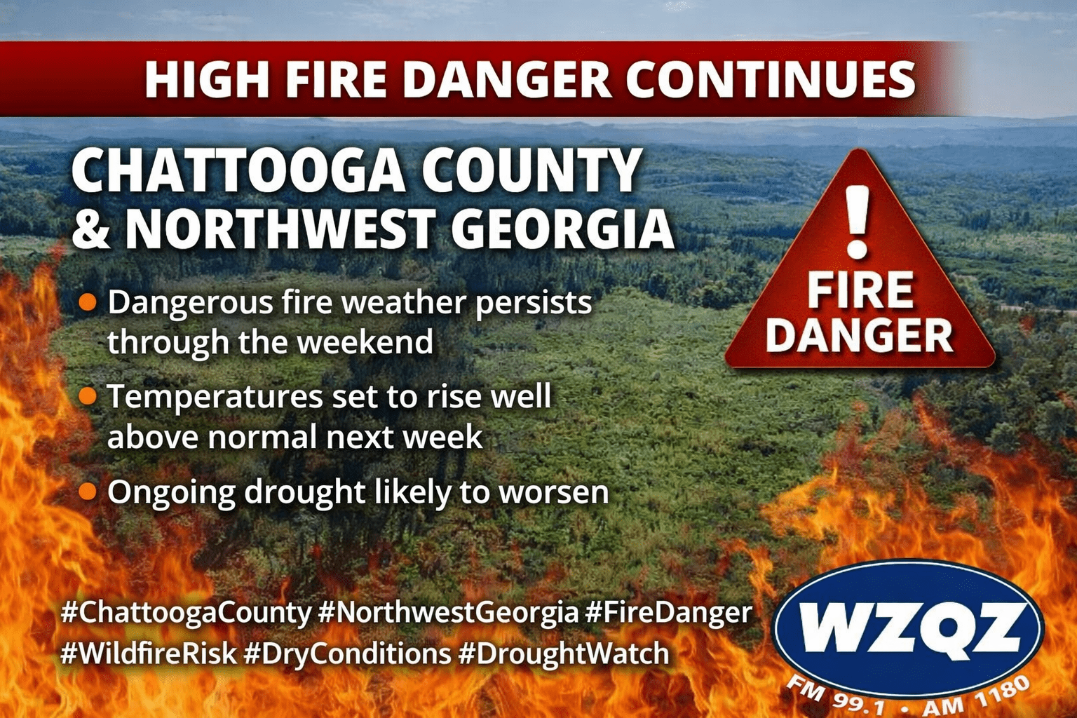
Residents across Chattooga County and the broader Northwest Georgia region should remain on alert as high fire danger conditions persist through the weekend. Dry weather, low humidity, and warming temperatures are creating an elevated risk for wildfire activity.
Forecasters say a strong high-pressure system will keep skies mostly clear and conditions dry across the area. Afternoon humidity levels are expected to drop into the 20–30% range, while dry vegetation and ongoing drought conditions make it easier for fires to start and spread.
Temperatures will steadily climb, reaching the upper 70s and low 80s today, with mid-80s expected by Saturday. Even warmer conditions are on the way next week, with highs შესაძლოა approaching the upper 80s to near 90 degrees by midweek.
Unfortunately, there is little to no chance of meaningful rainfall over the next 5 to 7 days. This lack of precipitation is expected to worsen drought conditions across Northwest Georgia, including Chattooga County.
Officials urge residents to avoid outdoor burning and use extreme caution with anything that could spark a fire. Fire danger statements are expected to remain in effect as conditions continue.
Comments