






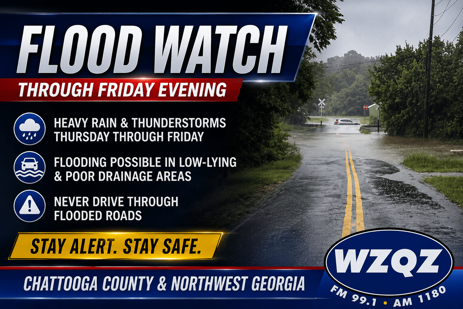
A Flood Watch remains in effect for Chattooga County and much of northwest Georgia through Friday evening as repeated rounds of showers and thunderstorms are expected to bring the potential for excessive rainfall and localized flooding.
Rain chances increase this afternoon, with showers and thunderstorms likely after 2 p.m. High temperatures will reach around 87 degrees under mostly cloudy skies. Some storms could produce heavy downpours, with rainfall amounts of a quarter-inch or more in the strongest cells.
The wet weather continues tonight with additional showers and thunderstorms likely before 1 a.m., followed by scattered showers overnight. Friday will bring another active weather day with an 80 percent chance of showers and thunderstorms from morning through the afternoon and evening.
The National Weather Service says widespread rainfall totals of 2 to 4 inches are possible through Friday, with isolated locations receiving more than 5 inches. The greatest flooding risk will be in low-lying areas, near creeks and streams, and locations with poor drainage.
Residents should never drive through flooded roadways and should closely monitor weather conditions over the next two days. A Flood Watch means conditions are favorable for flooding, and additional Flood Warnings could be issued if flooding develops.
The weather begins to improve late in the weekend. Scattered thunderstorms remain possible Saturday before rain chances decrease Sunday. Sunshine and hotter temperatures return early next week, with highs climbing into the middle 90s by Tuesday.
Comments