









Residents across Chattooga County can expect improving weather conditions Sunday as the remnants of Post-Tropical Cyclone Isaias continue moving away from Northwest Georgia following Saturday’s heavy rainfall, strong winds and storm damage.

Residents across Chattooga County can expect improving weather conditions Sunday as the remnants of Post-Tropical Cyclone Isaias continue moving away from Northwest Georgia following Saturday’s heavy rainfall, strong winds and storm damage.
Chattooga County residents are facing a potentially dangerous weather situation Saturday as Hurricane Isaias brings strong winds, heavy rainfall and the threat of severe storms to Northwest Georgia.

Chattooga County Commissioner Andy Allen has declared a local State of Emergency for Chattooga County as the county prepares for potentially dangerous weather associated with Hurricane Isaias.

Residents across Chattooga County and Northwest Georgia are being urged to prepare for a potentially dangerous weekend as Hurricane Isaias approaches the northern Gulf Coast, bringing the threat of damaging winds, flooding and tornadoes to the region.
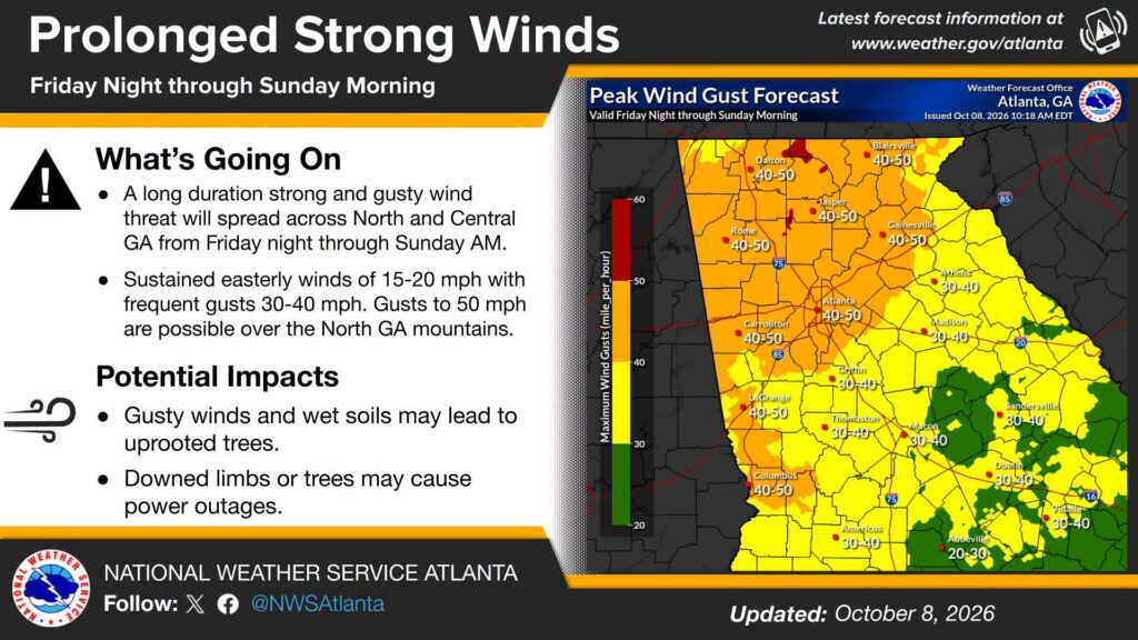
The National Weather Service in Peachtree City is warning residents across Chattooga County and Northwest Georgia to prepare for an extended period of strong, gusty winds beginning Friday night and continuing through Sunday morning.

Summerville Mini Renaissance Festival Canceled Due to Inclement Weather; Indoor Renaissance Celebration Planned
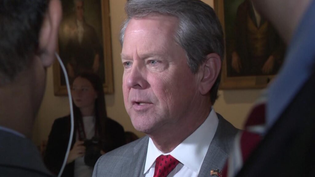
Georgia Governor Brian Kemp has issued an updated State of Emergency covering all 159 Georgia counties as Hurricane Isaias approaches the Gulf Coast, bringing the threat of damaging winds, heavy rainfall, flooding and possible tornadoes to the state.
Residents across Chattooga County and Northwest Georgia are being urged to prepare for a potentially dangerous weekend of weather as Hurricane Isaias approaches the northern Gulf Coast.

Residents in Trion may hear tornado warning sirens sounding Friday afternoon, but there will be no cause for alarm.
Trion Police Chief David Gilleland has announced that the Town of Trion will conduct a scheduled test of its tornado warning sirens at 12 PM Friday, October 9.
The test is intended to ensure the town’s outdoor warning system is functioning properly and ready to alert residents in the event of severe weather.
Residents who hear the sirens at noon Friday should be aware that the activation is only a scheduled test and does not indicate an actual tornado warning.
Chattooga County will see another warm and dry day today, but residents should keep an eye on the forecast as a tropical system moving toward the Gulf Coast could bring heavy rain, gusty winds and possibly severe weather to Northwest Georgia this weekend.