


While Chattooga County and all of Northwest Georgia remain under an Ice Storm Warning, the National Weather Service forecast for our area is calling for only a slight chance of freezing rain before 10 AM this morning. Early temperatures were running marginal for widespread icing, with LaFayette and Mentone hovering just below freezing at 31 degrees, while Gaylesville, Alabama and Rome were closer to 40. Summerville was sitting at 35 degrees. Those readings are a bit warm for freezing rain in many spots, but sleet could still fall anywhere across the area, especially in heavier bursts of precipitation.
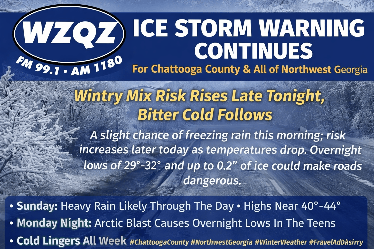
For today, Summerville’s high should reach around 40 degrees, while Lookout Mountain could stay cold enough to support periods of light snow or freezing rain through the day. As we head into the evening and overnight hours, the risk for hazardous winter weather increases. Overnight lows are expected to range from around 29 degrees in the higher elevations to just below freezing in the valleys. Precipitation chances rise to 100%, and new ice accumulation of 0.1 to 0.2 inches is possible. That may not sound like much, but the National Weather Service notes that as little as a tenth of an inch of ice can begin coating surfaces and create hazardous conditions for both pedestrians and drivers. Sunday morning travel could be dangerous across the WZQZ listening area.
On Sunday, temperatures should climb to around 40 degrees on Lookout Mountain and about 44 degrees in valley locations, but the tradeoff will be heavy rain at times. Winds will turn from the southeast around 10 mph, with gusts up to 25 mph. The chance of precipitation remains 100%, with rainfall totals of 1 to 2 inches possible.
Sunday night brings a bit of improvement, with only a 30 percent chance of showers, mainly before 9 PM. Skies stay mostly cloudy, and temperatures drop sharply with a low near 20 degrees. Winds shift to the northwest at 5 to 10 mph, still gusting up to 25 mph.
As we begin the work week, high temperatures will struggle near the freezing mark, and by Monday night, an arctic blast is expected to push overnight lows into the mid to upper teens. Cold air will likely hold through the entire week—and possibly into next weekend—as another surge of cold filters south. Highs in the 30s and 40s look common most days, with overnight lows in the teens and 20s a growing concern each night.
And there’s one more thing we’ll be watching: signs of another potential winter event toward the end of next week, as another storm system could approach and bring a better chance of winter precipitation back to Northwest Georgia.
Comments