


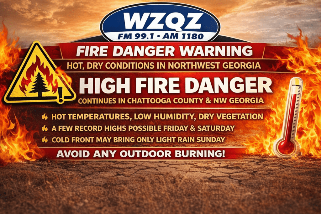
Chattooga County and the rest of Northwest Georgia are once again under heightened fire weather concerns as dangerously dry conditions and unusually hot temperatures continue through Saturday.
Forecasters say a Fire Danger Statement remains in effect across parts of north and central Georgia, with low humidity, dry vegetation, and warm temperatures combining to create a greater risk for fires to spread quickly. Residents across Chattooga County and surrounding Northwest Georgia communities are urged to avoid outdoor burning and to use extreme caution with anything that could spark a flame.
Temperatures are expected to climb well above normal again Friday and Saturday, with highs reaching the upper 80s to low 90s. Some daily record highs could be challenged, and the unusual April heat is only making already dry ground conditions worse.
Relief may arrive late Saturday into Sunday as a cold front moves into the region, bringing a chance for showers and a few thunderstorms. While some rain is expected across North Georgia, forecast totals remain light, with most areas expected to receive little more than a quarter-inch of rain. That is not expected to significantly improve ongoing drought conditions.
A few stronger showers or storms with gusty winds cannot be ruled out in parts of North Georgia, but widespread severe weather is not currently expected. After the front passes, much cooler air will move in for Sunday and early next week, with morning lows dropping into the 40s and even upper 30s in some spots.
Even with the cooler temperatures, the dry pattern is expected to continue, and fire weather concerns may remain in place into early next week as humidity levels drop again.
Residents in Chattooga County and across Northwest Georgia should stay alert for additional fire weather statements and use caution with any outdoor flames, equipment, or activities that could ignite dry grass and brush.
Comments