










Hot and humid weather will become the main concern across Chattooga County and Northwest Georgia heading into the weekend, with afternoon heat index values climbing near or above 100 degrees and scattered thunderstorms remaining possible.

Hot and humid weather will become the main concern across Chattooga County and Northwest Georgia heading into the weekend, with afternoon heat index values climbing near or above 100 degrees and scattered thunderstorms remaining possible.
Another hot summer day is on tap across Northwest Georgia today, with temperatures climbing into the lower 90s and heat index values reaching the triple digits as an increasingly hot weather pattern begins to take hold.

After weeks of warm, humid conditions, a refreshing change is arriving across northwest Georgia this week.
A backdoor cold front moving south into the region will bring noticeably cooler temperatures and lower humidity, creating conditions that will feel more like spring than the first week of meteorological summer. Before the cooler air fully settles in, however, a few isolated thunderstorms could develop Tuesday afternoon and evening.
Chattooga County and Northwest Georgia can expect warm and mostly dry weather today as a dry air mass remains in place across the region. Skies will be mostly sunny, with only some high clouds and fair-weather clouds developing during the afternoon.
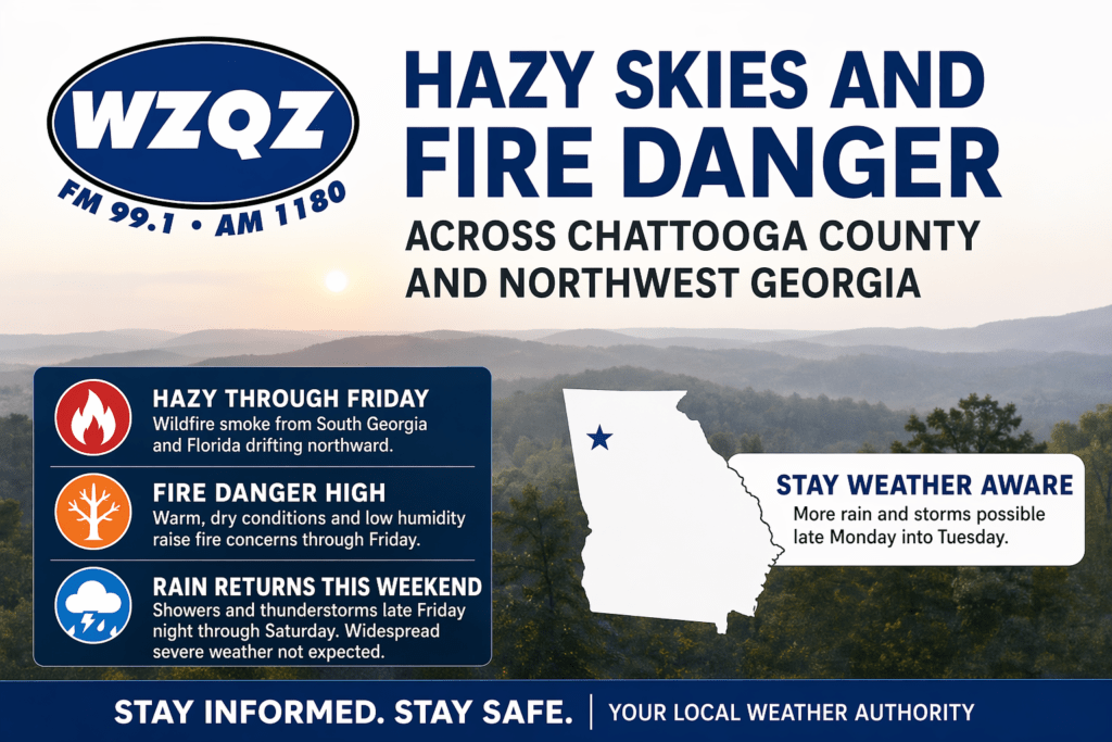
A stretch of hazy, dry, and unseasonably warm weather is gripping Chattooga County and much of Northwest Georgia, as wildfire smoke drifting north from South Georgia and Florida continues to impact air quality and visibility across the region.
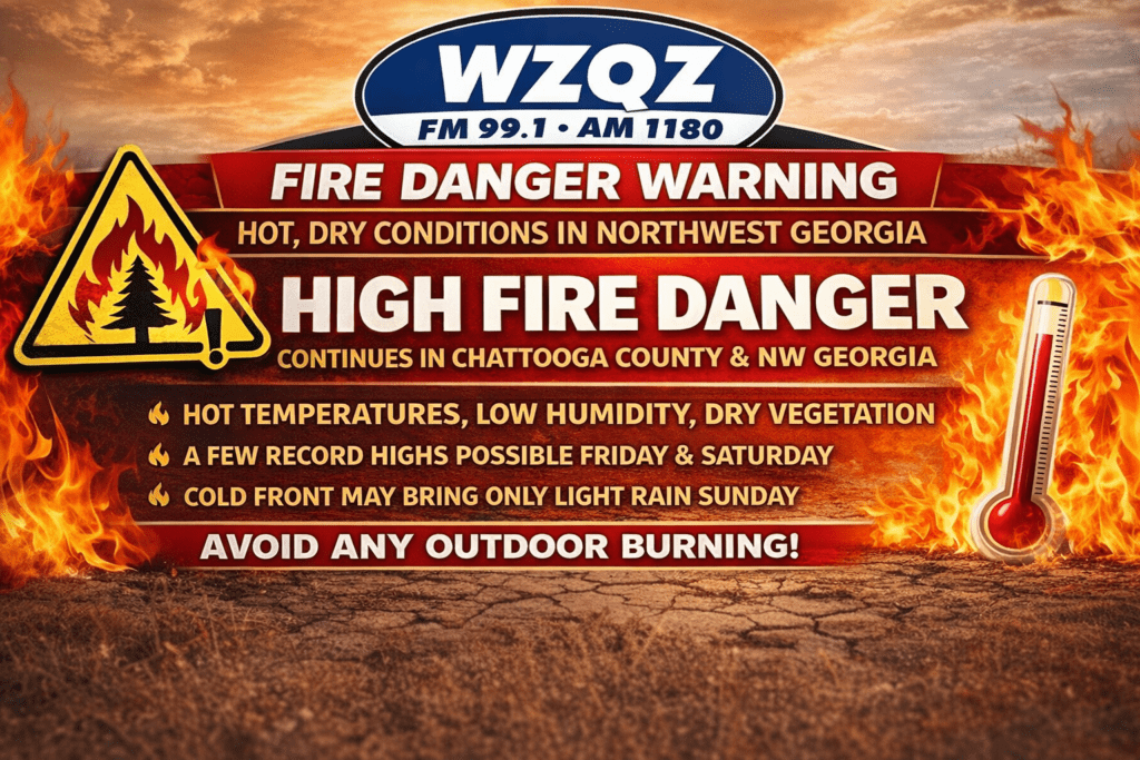
Chattooga County and the rest of Northwest Georgia are once again under heightened fire weather concerns as dangerously dry conditions and unusually hot temperatures continue through Saturday.