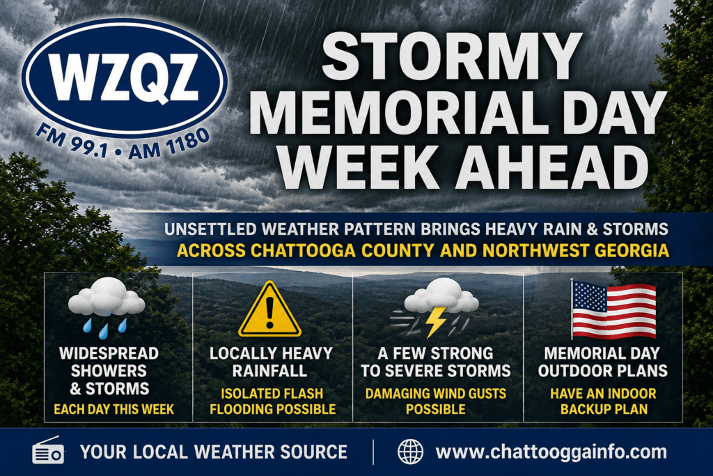
Residents across Chattooga County and Northwest Georgia should prepare for several days of unsettled weather as a persistent summer-like pattern brings widespread showers and thunderstorms through much of the upcoming week.
Forecasters say periods of heavy rainfall are expected daily, raising the threat for localized flash flooding, especially in low-lying and poor drainage areas. Storms may repeatedly move across the same locations, increasing rainfall totals in some communities.
A few storms could also become strong to severe at times, with damaging wind gusts being the primary concern. Meteorologists say the combination of very humid air, daytime heating, and abundant moisture in the atmosphere will help fuel storm development each afternoon and evening.
Memorial Day outdoor plans could be impacted as thunderstorms are expected to increase during the afternoon hours. Officials recommend having an indoor backup plan and staying alert for changing weather conditions.
The wet pattern is expected to continue through much of the week, with temperatures remaining warm and humid. Highs will generally stay in the 80s, while overnight lows remain muggy in the upper 60s and lower 70s.
Forecasters say there are early indications the pattern could begin to shift by next weekend, though confidence remains low at this time.
Today
A chance of showers and thunderstorms, then showers and possibly a thunderstorm after 1pm. High near 80. Southeast wind around 5 mph. Chance of precipitation is 80%. New rainfall amounts between a quarter and half of an inch possible.
Tonight
Showers and thunderstorms likely before 2am, then a chance of showers. Mostly cloudy, with a low around 64. Calm wind. Chance of precipitation is 60%. New precipitation amounts between a tenth and quarter of an inch, except higher amounts possible in thunderstorms.
Memorial Day
A chance of showers and thunderstorms, then showers and possibly a thunderstorm after noon. High near 80. Calm wind becoming southeast around 5 mph. Chance of precipitation is 80%. New rainfall amounts between a quarter and half of an inch possible.
Monday Night
Showers and possibly a thunderstorm. Low around 65. Calm wind. Chance of precipitation is 80%.
Tuesday
Showers, with thunderstorms also possible after 11am. High near 81. South wind around 5 mph. Chance of precipitation is 100%.
Tuesday Night
Showers likely and possibly a thunderstorm. Mostly cloudy, with a low around 65. Chance of precipitation is 70%.
Wednesday
A chance of showers and thunderstorms, then showers likely and possibly a thunderstorm after 2pm. Mostly cloudy, with a high near 82. Chance of precipitation is 70%.
Wednesday Night
Showers likely and possibly a thunderstorm before 8pm, then a slight chance of showers and thunderstorms between 8pm and 2am, then a slight chance of showers after 2am. Mostly cloudy, with a low around 65. Chance of precipitation is 60%.
Thursday
A slight chance of showers, then a chance of showers and thunderstorms after 8am. Partly sunny, with a high near 84. Chance of precipitation is 50%.
Thursday Night
A chance of showers and thunderstorms. Mostly cloudy, with a low around 64. Chance of precipitation is 50%.
Friday
Showers and thunderstorms. High near 82. Chance of precipitation is 80%.
Friday Night
Showers and possibly a thunderstorm. Low around 63. Chance of precipitation is 80%.
Saturday
Showers likely and possibly a thunderstorm. Partly sunny, with a high near 79. Chance of precipitation is 60%.


Comments