


A cold front moved into Northwest Georgia early Sunday, bringing only limited rainfall to Chattooga County and surrounding areas. While a few scattered showers passed through during the morning hours, most communities across the region are expected to receive very little rain, with many spots seeing less than a tenth of an inch. Even in the areas that pick up the most rainfall, totals are not expected to be enough to make a meaningful dent in the ongoing dry conditions.
For Chattooga County and the rest of Northwest Georgia, the bigger concern quickly turns to fire danger once the front moves out. Behind the rain, a much drier and cooler air mass is settling into the area, along with gusty northwest winds that could reach 25 to 30 miles per hour at times this afternoon and evening. That combination of low humidity, dry vegetation, and strong wind will create dangerous fire weather conditions across the region.
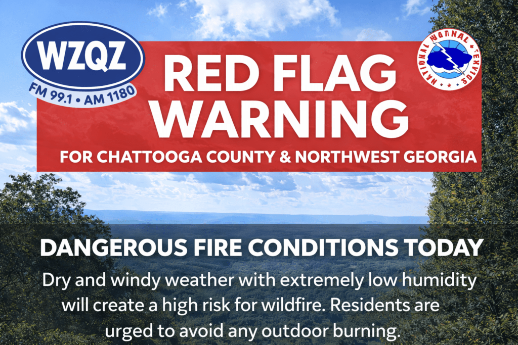
A Red Flag Warning remains in effect for much of the area, and that includes concerns for Northwest Georgia, where conditions will be especially favorable for the rapid spread of any outdoor fire. Residents in Chattooga County are urged to use extreme caution and avoid any outdoor burning. Even a small spark could spread quickly under these dry and breezy conditions.
Temperatures will also take a temporary dip behind the front. Afternoon highs today are expected to stay mostly in the 60s across Northwest Georgia, making it feel noticeably cooler than recent days. By tonight and into early Monday morning, temperatures will fall into the low to mid 40s, bringing a crisp start to the new week.
The cooler air will not last long. By Monday, temperatures will begin edging upward again, with highs returning to the 70s, and by the middle of the week, Northwest Georgia could once again see temperatures back in the 80s. Unfortunately, the warming trend will come with continued dry weather, and that means fire concerns are likely to remain a major issue not just Sunday, but day after day through much of the week ahead.
Forecast discussions indicate that critical fire weather conditions may continue daily from Tuesday through Friday, as no meaningful rainfall is expected during that stretch. For Chattooga County and nearby Northwest Georgia counties, that means the landscape will remain dry, vegetation will stay highly flammable, and any wildfire threat could intensify quickly if winds increase.
There is at least some early hope for better rain chances by next weekend. Forecasters are watching a developing system that could push another cold front toward the Southeast, potentially bringing more widespread and much-needed rainfall. Until that system gets closer, however, the outlook for Chattooga County and Northwest Georgia remains dry, breezy, and increasingly vulnerable to fire danger.
For now, residents should expect brief showers this morning, cooler temperatures today, chilly overnight lows, and an extended stretch of dry weather that will keep fire risk front and center across the region.
Comments