A cold front moved into Northwest Georgia early Sunday, bringing only limited rainfall to Chattooga County and surrounding areas. While a few scattered showers passed through during the morning hours, most communities across the region are expected to receive very little rain, with many spots seeing less than a tenth of an inch. Even in the areas that pick up the most rainfall, totals are not expected to be enough to make a meaningful dent in the ongoing dry conditions.
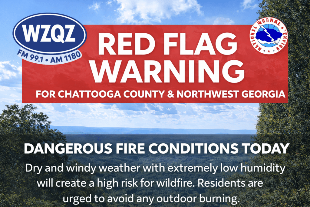
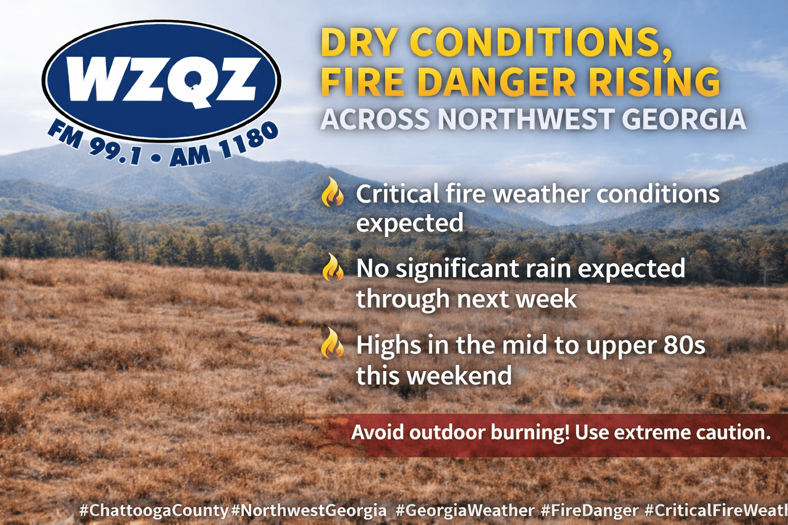
Chattooga County and the rest of Northwest Georgia are facing an extended stretch of dry weather, increasing fire danger, and a significant warm-up heading into the weekend and early next week.
Residents across Chattooga County and Northwest Georgia can expect mild and dry conditions through midweek, but officials are warning of an increased fire danger Tuesday afternoon into the evening.
A weak wedge of cooler air is settling into the region, bringing partly cloudy skies, gusty northeast winds, and seasonable temperatures in the mid to upper 60s. Behind a recent cold front, much drier air has moved in, dropping humidity levels into the 20–30% range.
Forecasters say areas north of I-20, including Northwest Georgia, could see relative humidity fall below 25% for several hours Tuesday. Combined with dry vegetation and breezy conditions, this has prompted a high fire danger alert for the region.
Conditions remain calm and dry into Wednesday, with little to no chance of rain. However, a warming trend begins later in the week, with temperatures climbing into the upper 70s and low 80s by Thursday.
A weak cold front could bring a slight chance of scattered showers to far north Georgia by Friday, but overall, quiet and seasonable weather is expected heading into the weekend.
Officials urge residents to avoid outdoor burning during peak fire danger periods and to use caution with anything that could spark a fire.
Today
Mostly cloudy, then gradually becoming sunny, with a high near 69. Northeast wind 5 to 10 mph becoming southeast in the afternoon. Winds could gust as high as 20 mph.
Tonight
Partly cloudy, with a low around 46. East wind around 5 mph, with gusts as high as 15 mph.
Wednesday
Partly sunny, with a high near 68. Southeast wind around 5 mph, with gusts as high as 15 mph.
Wednesday Night
Partly cloudy, with a low around 50. Southeast wind around 5 mph becoming calm.
Thursday
Mostly sunny, with a high near 82. Calm wind becoming southwest around 5 mph in the afternoon. Winds could gust as high as 15 mph.
A cold front moving through the region will bring a return to more seasonal temperatures across Chattooga County and Northwest Georgia by Tuesday, with only minimal rain expected in the short term.