


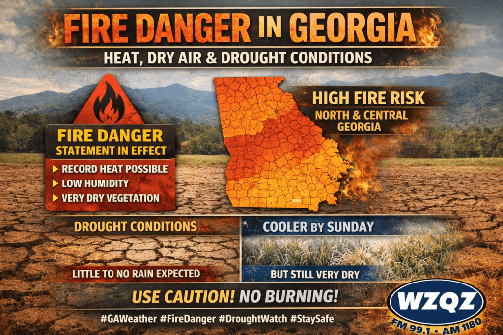
A Fire Danger Statement remains in effect across portions of north and central Georgia as dry vegetation, low humidity, and unusually warm temperatures continue to create dangerous fire weather conditions through the end of the week.
Forecasters say temperatures will stay well above normal through Saturday, with some communities possibly tying or breaking daily record highs. Afternoon highs are expected to climb into the upper 80s and lower 90s, especially across parts of east-central Georgia.
The combination of heat, dry air, and gusty conditions is keeping wildfire concerns elevated, particularly during the afternoon and early evening hours. Officials are urging residents to avoid outdoor burning and to use extreme caution with anything that could spark a fire.
A slight chance of isolated showers and thunderstorms may develop in far north Georgia later today and tonight, but rainfall totals are expected to remain very light and will do little to improve ongoing drought conditions.
Rain chances are expected to increase again Saturday night into Sunday as a cold front moves through the region. Even so, most areas are only expected to receive around a quarter inch of rain or less. While any rainfall will be welcome, it is not expected to provide meaningful drought relief.
Behind the front, temperatures will cool off noticeably by Sunday and early next week, with some north Georgia locations dipping into the upper 30s and lower 40s by Monday morning. Despite the cooler air, the overall pattern will remain very dry, and fire weather concerns are expected to continue.
Comments