









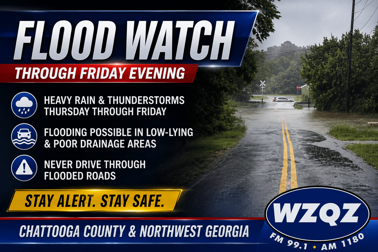
A Flood Watch remains in effect for Chattooga County and much of northwest Georgia through Friday evening as repeated rounds of showers and thunderstorms are expected to bring the potential for excessive rainfall and localized flooding.

A Flood Watch remains in effect for Chattooga County and much of northwest Georgia through Friday evening as repeated rounds of showers and thunderstorms are expected to bring the potential for excessive rainfall and localized flooding.

Residents of Chattooga County and northwest Georgia should prepare for another hot and humid week with daily chances for afternoon and evening thunderstorms, some of which could become strong or severe.
A hot and muggy Saturday is expected across Chattooga County and Northwest Georgia, with scattered showers and thunderstorms developing during the afternoon.
Hot and humid conditions will continue across Chattooga County and northwest Georgia through the weekend, with scattered afternoon thunderstorms providing only temporary relief from the heat.
Residents across Chattooga County and Northwest Georgia should prepare for another hot and humid day today, with scattered afternoon and evening thunderstorms expected to develop.
Another stretch of dangerous summer heat is settling over Chattooga County and Northwest Georgia today, with a Heat Advisory in effect from noon until 8 p.m. for portions of north Georgia. Afternoon temperatures are expected to climb into the upper 90s, while heat index values could reach 105 degrees in parts of the area.
Residents of Chattooga County and Northwest Georgia should prepare for another round of afternoon showers and thunderstorms today and Sunday, with a few storms capable of becoming strong to severe, according to the National Weather Service.

Northwest Georgia residents should prepare for the possibility of strong to severe thunderstorms this evening as a line of storms is expected to move into the region from Tennessee and Alabama between 7 p.m. and 9 p.m.
Low clouds and patchy fog early Sunday morning are expected to gradually clear, giving way to another warm and muggy day across Chattooga County and Northwest Georgia. Afternoon temperatures will climb into the upper 80s and lower 90s, while high humidity levels will push heat index values into the mid and upper 90s.
A taste of summer’s full force is arriving in Chattooga County and Northwest Georgia as temperatures climb into the 90s and humidity pushes heat index values close to — and in some locations above — 100 degrees through the weekend.