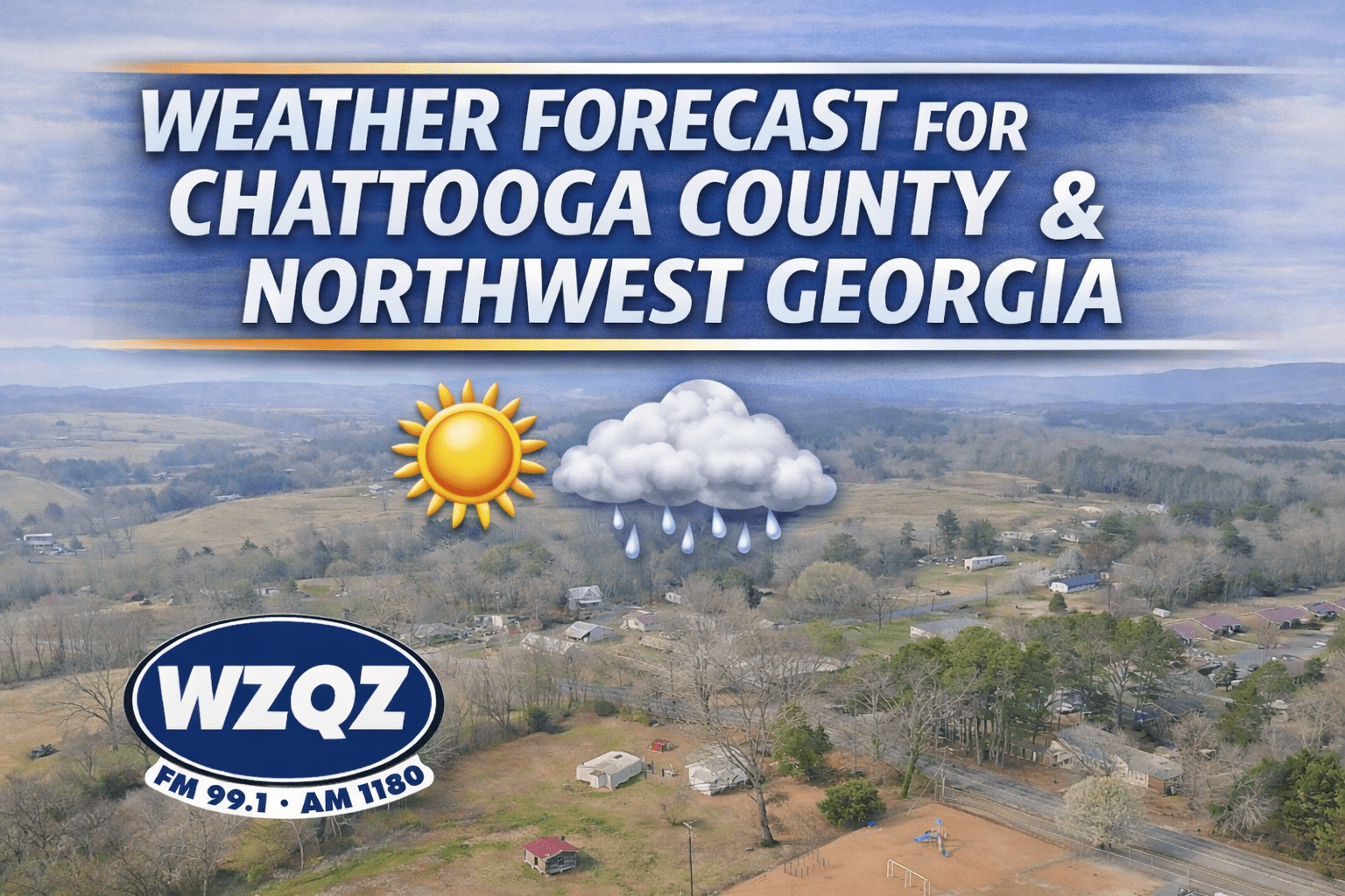
Low clouds and patchy fog early Sunday morning are expected to gradually clear, giving way to another warm and muggy day across Chattooga County and Northwest Georgia. Afternoon temperatures will climb into the upper 80s and lower 90s, while high humidity levels will push heat index values into the mid and upper 90s.

Forecasters say scattered showers and strong to severe thunderstorms could develop across north and central Georgia this afternoon and continue into the early evening hours.
After a quiet start to the week, weather conditions are beginning to change across Chattooga County and northwest Georgia.
A wet and unsettled weather pattern continues across the region today, bringing periods of showers, embedded thunderstorms, breezy conditions, and the possibility of stronger storms later tonight.
An active and potentially stormy weather pattern is setting up across Chattooga County and Northwest Georgia this week, bringing multiple rounds of showers and thunderstorms and the possibility of severe weather.
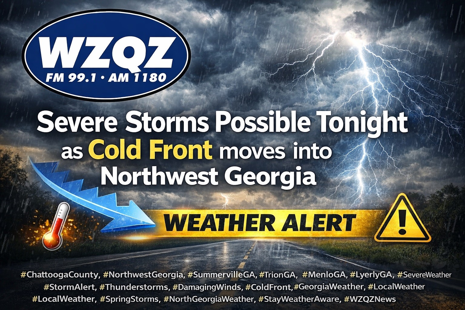
A cold front is expected to sweep through Chattooga County and Northwest Georgia late this evening into early Thursday, bringing widespread showers and thunderstorms, with some storms possibly becoming strong to severe.
Chattooga County and the broader Northwest Georgia region are expected to see widespread showers and thunderstorms today and tonight as a cold front pushes through the state.