


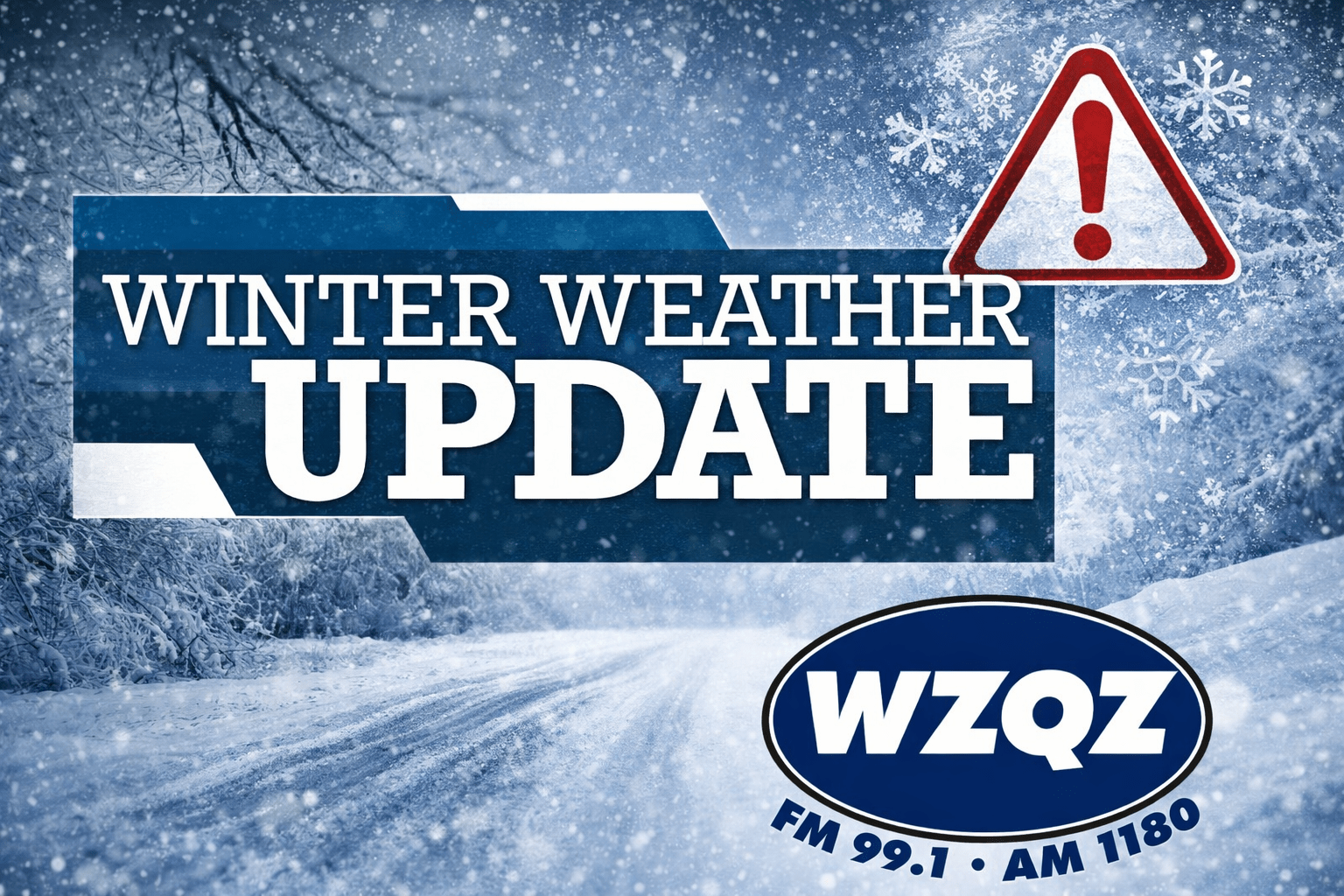
A winter storm moving across parts of Tennessee, Georgia, and the Carolinas will be the main weather story over the next 24 to 48 hours, with widespread snowfall expected across portions of the region. Forecasters say confidence is high in the overall setup: an unusually strong upper-level low dropping out of Canada will drive a surge of Arctic air into the Southeast, while a surface low strengthens rapidly off the Georgia and South Carolina coast. As that coastal system intensifies, moisture will wrap back into Georgia, combining with lift from the upper-level low to produce snow—though where the western edge of the snow sets up remains one of the biggest uncertainties.
For Chattooga, Floyd, and Walker Counties, the forecast places Northwest Georgia near that western cutoff, meaning light snow is possible tonight through Saturday, with the best chances generally farther east. While areas of northeast and east-central Georgia could see several inches of snow, the expectation locally is for minor accumulations, but any snow that falls could quickly create slick travel conditions because temperatures will already be in the 20s when precipitation arrives. Even brief bursts of snow could stick to roads, and northwest winds gusting 20 to 30 miles per hour may occasionally reduce visibility.
The other major concern for our area will be the dangerous cold and wind chills arriving behind the storm. Temperatures will drop below freezing overnight, with Saturday morning lows in the 20s and “feels-like” readings 10 to 15 degrees colder due to wind. Conditions will not improve much during the day, with afternoon highs struggling to reach around 30 degrees in much of North Georgia. An Extreme Cold Watch remains in effect Saturday evening through Sunday morning, as low temperatures are expected to fall into the low to mid-teens, and gusty winds could drive wind chills into the single digits, potentially even near or below zero in some spots.
Comments