


A stretch of hazy, dry, and unseasonably warm weather is gripping Chattooga County and much of Northwest Georgia, as wildfire smoke drifting north from South Georgia and Florida continues to impact air quality and visibility across the region.
Through Friday, skies will remain mostly clear, but a noticeable haze will hang in the air at times, giving the sun a muted appearance and reducing visibility, especially during the morning and evening hours. While the smoke is not expected to reach hazardous levels for most residents, those with respiratory sensitivities may notice minor irritation and should take precautions when spending extended time outdoors.
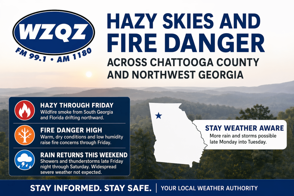
In addition to the smoky conditions, the region is facing heightened fire danger due to a combination of warm temperatures, low humidity, and dry ground conditions. Afternoon highs are reaching the mid to upper 80s—well above average for late April—while humidity levels are dropping into the 20 to 30 percent range during peak heating hours. These factors create an environment where fires can start easily and spread quickly.
A Fire Danger Statement remains in effect during the afternoon and early evening hours, and officials warn that similar alerts may continue into Friday. Local emergency management agencies and fire departments are urging residents to avoid outdoor burning, properly dispose of cigarettes, and use extreme caution with any activity that could spark a fire. Even small flames can quickly get out of control under these conditions.
Despite the dry start to the period, a significant pattern change is on the horizon. A cold front is expected to approach Northwest Georgia late Friday night, bringing the first chances of rain to the area in several days. Showers will begin to move into the far northwest corner of the state overnight and spread across Chattooga County and surrounding communities through Saturday.
Scattered thunderstorms are also expected to develop along and ahead of the front. While the overall severe weather threat currently appears limited, a few stronger storms cannot be ruled out. These could produce gusty winds, brief heavy rainfall, and frequent lightning. Residents are encouraged to stay weather-aware, especially if they have outdoor plans this weekend.
By Saturday afternoon, rain coverage may become more scattered as the system weakens, but clouds and cooler temperatures will provide some relief from the recent heat. Highs are expected to drop back into the 70s across Northwest Georgia, offering a more seasonal feel.
Looking ahead to Sunday, the front is expected to stall to the south, allowing warmer temperatures to return to the region, with highs climbing back into the mid to upper 80s. Rain chances will decrease for much of North Georgia, though a few isolated showers may linger.
The weather pattern becomes more active again early next week. Another system is expected to develop and move toward the Southeast, bringing a renewed chance of widespread showers and thunderstorms late Monday into Tuesday. Unlike the weekend system, this one may have a better setup for stronger storms, and forecasters say it will be important to monitor for any potential severe weather threats as the system approaches.
Rainfall totals from Friday night through early next week could range from around 1.5 to 2.5 inches across North Georgia, with locally higher amounts possible in areas that see repeated storms. This rainfall could help reduce fire danger concerns but may also lead to brief periods of heavy rain and localized runoff issues.
For now, residents across Chattooga County and Northwest Georgia are advised to remain cautious during the ongoing dry conditions, limit outdoor burning, and stay tuned for updates as changing weather conditions move into the area over the coming days.
Comments