


A stretch of hazy, dry, and unseasonably warm weather is gripping Chattooga County and much of Northwest Georgia, as wildfire smoke drifting north from South Georgia and Florida continues to impact air quality and visibility across the region.

A stretch of hazy, dry, and unseasonably warm weather is gripping Chattooga County and much of Northwest Georgia, as wildfire smoke drifting north from South Georgia and Florida continues to impact air quality and visibility across the region.
![]()
Residents across Chattooga County and the broader Northwest Georgia region are being urged to use extreme caution this weekend as a Fire Weather Watch goes into effect Saturday due to dangerous conditions.
![]()
Residents across Chattooga County and Northwest Georgia are preparing for a surge of unseasonably hot weather Friday, with temperatures expected to climb near record highs before a cool-down this weekend.
![]()
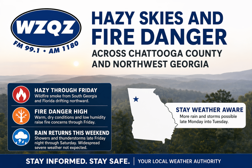
Residents across Chattooga County and Northwest Georgia can expect mild and dry conditions through midweek, but officials are warning of an increased fire danger Tuesday afternoon into the evening.
A weak wedge of cooler air is settling into the region, bringing partly cloudy skies, gusty northeast winds, and seasonable temperatures in the mid to upper 60s. Behind a recent cold front, much drier air has moved in, dropping humidity levels into the 20–30% range.
Forecasters say areas north of I-20, including Northwest Georgia, could see relative humidity fall below 25% for several hours Tuesday. Combined with dry vegetation and breezy conditions, this has prompted a high fire danger alert for the region.
Conditions remain calm and dry into Wednesday, with little to no chance of rain. However, a warming trend begins later in the week, with temperatures climbing into the upper 70s and low 80s by Thursday.
A weak cold front could bring a slight chance of scattered showers to far north Georgia by Friday, but overall, quiet and seasonable weather is expected heading into the weekend.
Officials urge residents to avoid outdoor burning during peak fire danger periods and to use caution with anything that could spark a fire.

Northwest Georgia is getting the coldest day of the week today as strong northwesterly winds keep a sharp chill in place even with sunshine overhead. Morning wind chills across Chattooga County and surrounding communities are running in the teens, with the coldest spots in the region dipping into the single digits, especially in higher elevations. High temperatures this afternoon will stay mostly in the 40s locally, while the mountains hold in the 30s, and it will still feel wintry through the day as breezy conditions continue.
Keep the umbrella handy across Chattooga County and Northwest Georgia today as a weather system brings widespread rain showers with occasional thunderstorms. The steadiest rain is expected through the daytime hours, and while the more significant severe weather threat is aimed farther south in Georgia, brief heavier downpours and isolated lightning are still possible locally at times.