


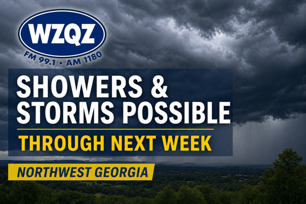
Northwest Georgia, including Chattooga County, is expected to see several days of unsettled weather as showers and thunderstorms move through the region over the coming week.

Northwest Georgia, including Chattooga County, is expected to see several days of unsettled weather as showers and thunderstorms move through the region over the coming week.
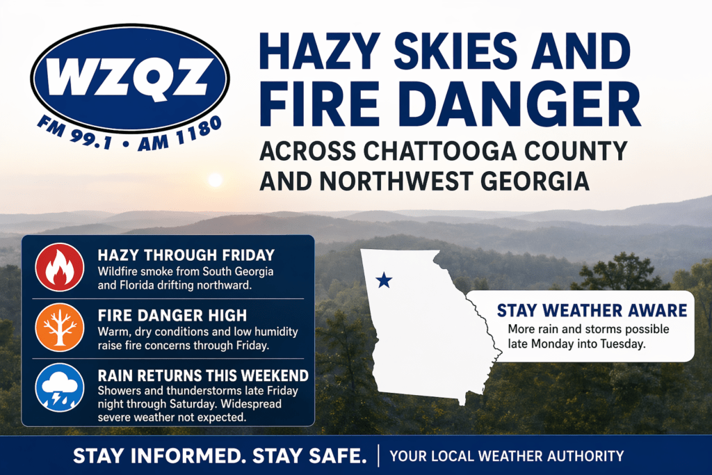
A stretch of hazy, dry, and unseasonably warm weather is gripping Chattooga County and much of Northwest Georgia, as wildfire smoke drifting north from South Georgia and Florida continues to impact air quality and visibility across the region.
![]()
Warm spring air, increasing humidity, and an approaching line of storms will make for an active weather day across Chattooga County and the surrounding Northwest Georgia region.
![]()
Residents across Chattooga County and the broader Northwest Georgia region are being urged to use extreme caution this weekend as a Fire Weather Watch goes into effect Saturday due to dangerous conditions.
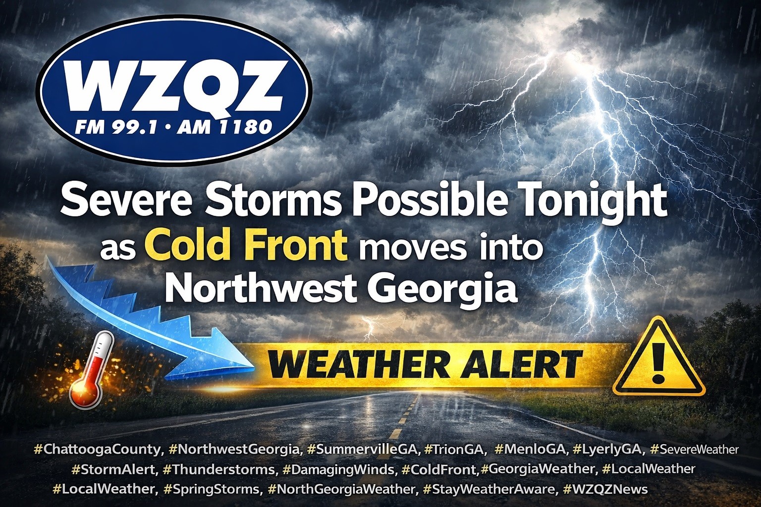
A cold front is expected to sweep through Chattooga County and Northwest Georgia late this evening into early Thursday, bringing widespread showers and thunderstorms, with some storms possibly becoming strong to severe.

Northwest Georgia is getting the coldest day of the week today as strong northwesterly winds keep a sharp chill in place even with sunshine overhead. Morning wind chills across Chattooga County and surrounding communities are running in the teens, with the coldest spots in the region dipping into the single digits, especially in higher elevations. High temperatures this afternoon will stay mostly in the 40s locally, while the mountains hold in the 30s, and it will still feel wintry through the day as breezy conditions continue.
Chattooga County and Northwest Georgia can expect above-average to near-record high temperatures today and Friday before rain and possible strong storms move into the area this weekend.
A Fire Danger Statement remains in effect for all of north and central Georgia, including Chattooga County and surrounding Northwest Georgia communities, until 6PM today due to low relative humidity levels and dry conditions.

The potential is increasing for another significant winter storm to impact parts of the eastern United States this coming weekend. Forecasters emphasize it is still too early to pin down exact details, but confidence is growing that a storm system could develop and move through while very cold air remains in place.
Meteorologists say a disturbance is expected to move out of Canada later this week, helping a stronger low-pressure system form across the East. If that system tracks in the right corridor, it could bring widespread precipitation that may fall as rain, snow, or a mix, depending on where the coldest air sets up. The biggest uncertainties right now include the storm’s timing, track, and strength, which will determine what areas see the greatest impacts.
For Northwest Georgia and the surrounding region, the message for now is preparedness without panic. Residents should keep checking updated forecasts through the week, especially as we get closer to Friday and Saturday when forecast confidence typically improves. Now is also a good time to review weekend travel plans, make sure you have supplies in case of slick roads or power issues, and plan ahead for pets, pipes, and outdoor needs if colder, wetter conditions move in.