


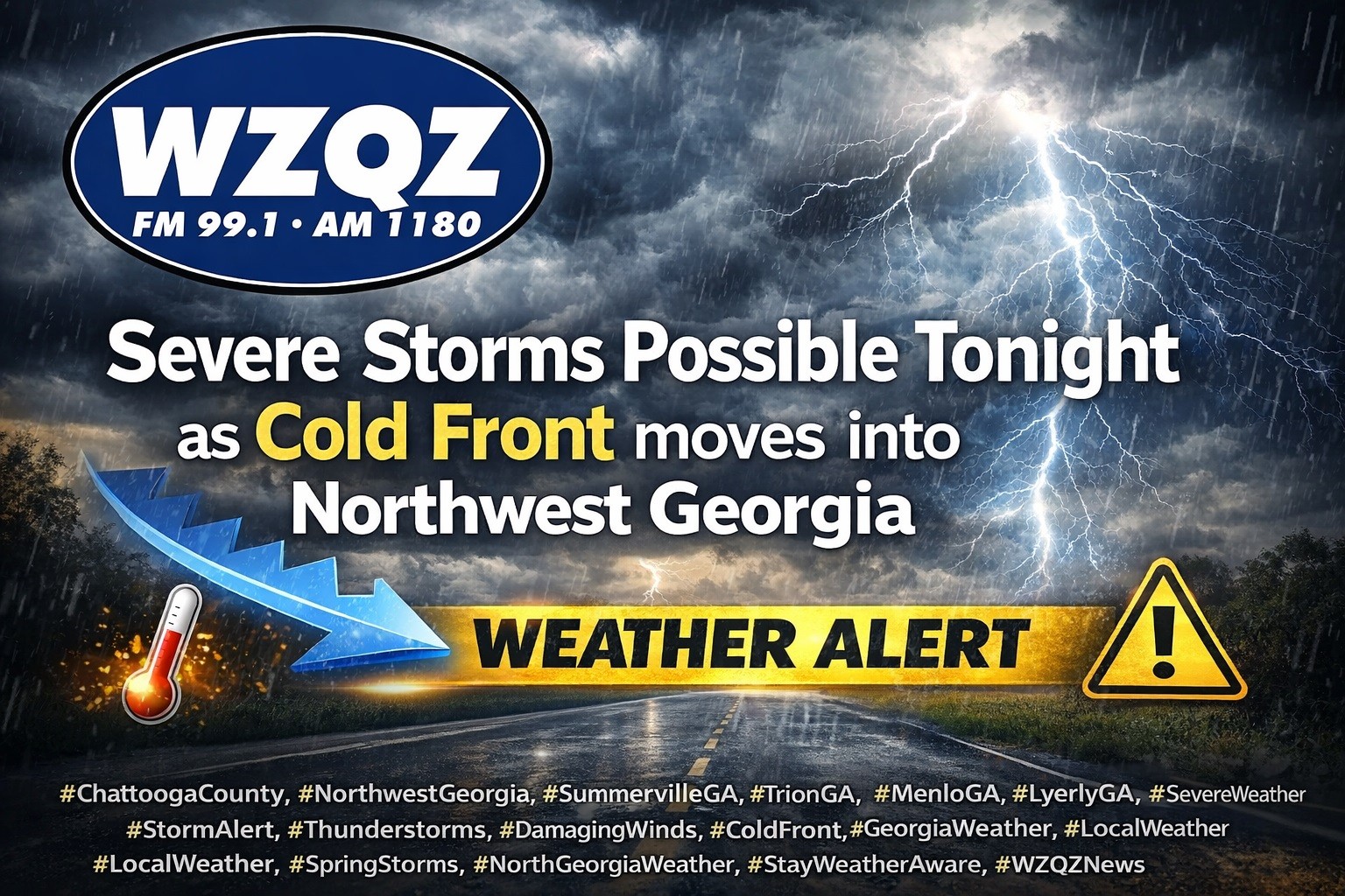
A cold front is expected to sweep through Chattooga County and Northwest Georgia late this evening into early Thursday, bringing widespread showers and thunderstorms, with some storms possibly becoming strong to severe.
Forecasters say the greatest concern tonight will be the potential for damaging wind gusts, though hail and a brief spin-up tornado are also possible. The line of storms is expected to move into far Northwest Georgia around sunset, then continue southeast overnight. Chattooga County is among the areas that should remain weather aware as conditions become more favorable for strong storms this evening.
Before the front arrives, Wednesday will stay very warm and humid, with afternoon temperatures climbing into the low to mid 80s in Northwest Georgia. That is about 15 to 20 degrees above normal for this time of year.
Once the front moves through, a sharp cooldown will follow. Thursday will be much cooler, with highs only reaching the mid 50s in Northwest Georgia, along with breezy northwest winds and much drier air.
The forecast then turns quieter, with dry conditions expected from late Thursday through Saturday. Rain and thunderstorm chances return Sunday into Monday with another approaching system.
Forecasters are also watching the potential for very cold temperatures early next week, with some areas possibly facing frost or freeze concerns by Tuesday morning if the colder forecast holds.
Comments