










A stretch of drier and more seasonable early-October weather is settling into northwest Georgia following the passage of a cold front, but forecasters say rain chances will return by the weekend as Gulf moisture begins moving back into the region.

A stretch of drier and more seasonable early-October weather is settling into northwest Georgia following the passage of a cold front, but forecasters say rain chances will return by the weekend as Gulf moisture begins moving back into the region.
After several days of summerlike heat, Northwest Georgia will finally get its first real taste of fall today, but the change in temperatures could come with showers and thunderstorms.
Hot and humid weather will become the main concern across Chattooga County and Northwest Georgia heading into the weekend, with afternoon heat index values climbing near or above 100 degrees and scattered thunderstorms remaining possible.
Another round of scattered showers and thunderstorms is expected across Chattooga County and northwest Georgia today, continuing a familiar summertime pattern that will bring afternoon storms and increasing heat through the coming week.
Northwest Georgia will continue to experience warm, humid weather with daily opportunities for afternoon and evening thunderstorms through at least early next week, according to the National Weather Service.
After another hot summer morning, weather conditions across Chattooga County and northwest Georgia are expected to become increasingly active this afternoon as a series of disturbances brings a higher chance of showers and thunderstorms through the weekend and into early next week.
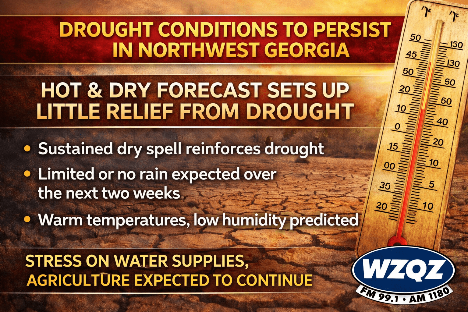
This week’s forecast for Northwest Georgia is raising concerns as continued dry and unusually warm conditions are expected to prolong—and potentially worsen—ongoing drought conditions across the region.

Rain chances will stay fairly limited today across Chattooga County and the rest of Northwest Georgia, but a wetter pattern is expected to move in as the weekend continues.
A cold front moving through the region will bring a return to more seasonal temperatures across Chattooga County and Northwest Georgia by Tuesday, with only minimal rain expected in the short term.
Northwest Georgia is getting the coldest day of the week today as strong northwesterly winds keep a sharp chill in place even with sunshine overhead. Morning wind chills across Chattooga County and surrounding communities are running in the teens, with the coldest spots in the region dipping into the single digits, especially in higher elevations. High temperatures this afternoon will stay mostly in the 40s locally, while the mountains hold in the 30s, and it will still feel wintry through the day as breezy conditions continue.