


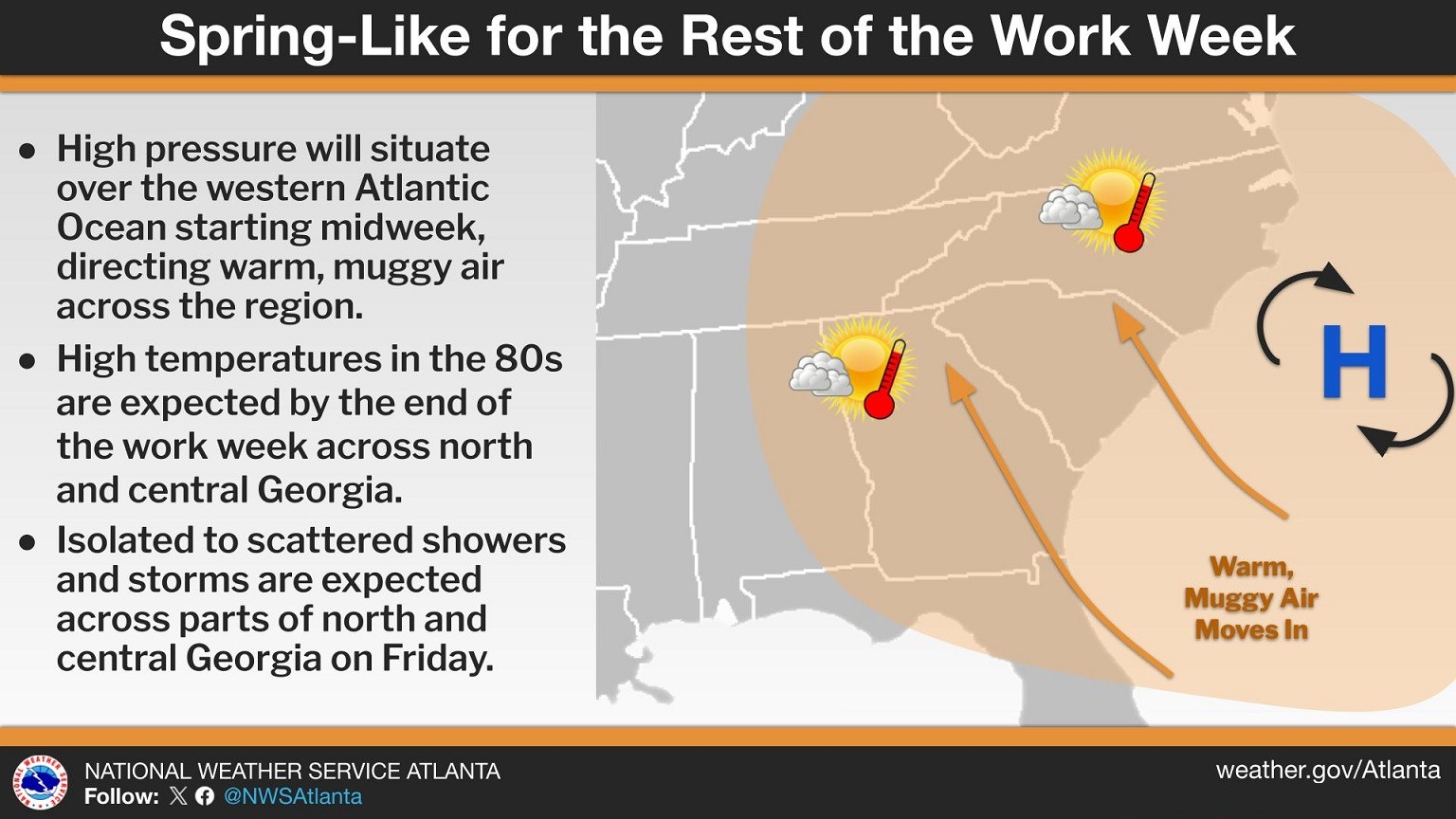
Residents across Chattooga County and Northwest Georgia are waking up to cloudy skies and areas of patchy fog this morning as warm, moist air moves into the region. Forecasters say a weakening wedge of high pressure has shifted toward the Atlantic, forming more of a Bermuda high pattern. This setup is allowing southeasterly winds to bring warmer and more humid air into the area, gradually pushing temperatures well above normal for early March.
High temperatures today are expected to climb into the 70s and lower 80s, already about 10 to 15 degrees above seasonal averages. The warming trend will continue Thursday, when highs could reach the upper 70s to middle 80s across parts of Northwest Georgia.
While conditions should remain mostly dry today, isolated showers could begin developing Thursday afternoon, mainly across western and central Georgia. Rain chances will increase more significantly heading into the weekend.
Forecasters say record high temperatures could be threatened later this week, especially on Friday and Saturday, as the Bermuda high continues to funnel unusually warm air into the region. Many areas across Georgia could see highs reaching the upper 70s to upper 80s, creating a spring-like feel across the state.
By the weekend, weather conditions are expected to become more unsettled. A passing disturbance across the central United States could allow scattered showers and thunderstorms to develop from Friday into early next week. At this time, widespread severe weather is not expected, though isolated thunderstorms will remain possible each day.
Local residents should enjoy the warm conditions but remain prepared for increasing rain chances heading into the weekend and early next week.
Comments