










After several days of summerlike heat, Northwest Georgia will finally get its first real taste of fall today, but the change in temperatures could come with showers and thunderstorms.

After several days of summerlike heat, Northwest Georgia will finally get its first real taste of fall today, but the change in temperatures could come with showers and thunderstorms.

Another hot and unsettled day is expected across Chattooga County and Northwest Georgia today, but a significant change toward more seasonable late-September weather is on the way.
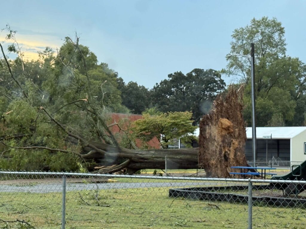
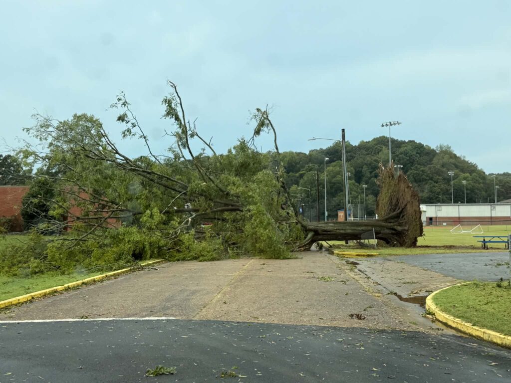

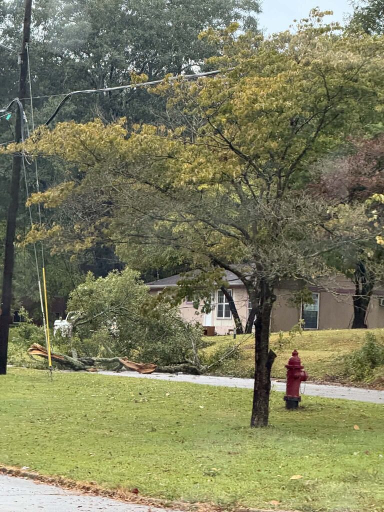
Trion residents are cleaning up this morning following a strong thunderstorm that caused widespread damage across the town Monday evening.
Trion Police Chief David Gilleland told WZQZ News Monday night that the damage was extensive, with numerous trees and limbs brought down across town.
Damage was reported in front of Mount Vernon Mills and along Simmons Street, Town Hall Drive, Marsh Avenue and Pine Street, as well as several other locations. Crews had already cleared the area in front of the mill when Gilleland spoke with WZQZ shortly before 7:45 PM.
One of the more significant areas of damage was at the Trion Recreation Department, where a large tree came down near the tennis courts.
Gilleland told WZQZ the falling tree took out the entire fence surrounding the tennis courts.
Some residents along side streets also experienced power outages Monday evening, although power remained on at Trion School following the storm.
Most importantly, Gilleland said no injuries had been reported as of Monday night.
Photos taken around Trion following the storm showed large trees and limbs down near homes and along roadways.
There was no immediate confirmation that a tornado was responsible for the damage. The storms that moved through the area were capable of producing strong, damaging wind gusts.
Crews were working Monday evening to clear trees and debris and assess the extent of the damage.
Unseasonably warm weather will continue across Chattooga County and Northwest Georgia through Tuesday, with another round of afternoon thunderstorms possible before cooler, drier air arrives later in the week.
Summer-like heat will continue across Chattooga County and Northwest Georgia Sunday, but a changing weather pattern is expected to bring increasing chances for showers and thunderstorms early this week followed by noticeably cooler temperatures by Wednesday and Thursday.
Another hot and humid day is ahead across Chattooga County and Northwest Georgia today, with mostly sunny skies and a high near 96 degrees. Heat index values could reach around 102, so anyone spending time outdoors should take precautions during the hottest part of the afternoon.
Unseasonably hot weather will continue across Chattooga County and Northwest Georgia through the weekend, with temperatures climbing well into the 90s before a better chance of showers and thunderstorms brings somewhat cooler conditions next week.
Another round of unusually hot September weather is in store for Chattooga County and Northwest Georgia on Thursday, with temperatures climbing well into the 90s.
An extended stretch of hot, mostly sunny and unusually dry weather will continue across Chattooga County and Northwest Georgia through Saturday, with temperatures remaining well above normal for the middle of September.
Chattooga County will remain hot and mostly dry through the rest of the workweek, with afternoon temperatures staying well into the 90s and rain chances largely absent until the weekend.