









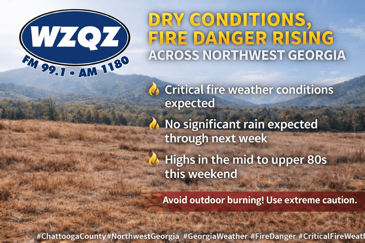
Chattooga County and the rest of Northwest Georgia are facing an extended stretch of dry weather, increasing fire danger, and a significant warm-up heading into the weekend and early next week.

Chattooga County and the rest of Northwest Georgia are facing an extended stretch of dry weather, increasing fire danger, and a significant warm-up heading into the weekend and early next week.

Chattooga County and the rest of Northwest Georgia are heading into a stretch of unusually hot and unsettled weather, with temperatures running 15 to more than 20 degrees above normal through the next several days.

Rain chances are set to increase later this morning across Chattooga County and Northwest Georgia, with light to moderate rainfall becoming widespread through the afternoon, according to the National Weather Service in Peachtree City, Georgia.

Unseasonably warm weather continues to dominate the pattern across Chattooga County and the rest of Northwest Georgia, and this trend shows no signs of breaking anytime soon. Temperatures, already well above what is typical for late November, are expected to remain elevated through at least the middle of next week. In fact, several days may come close to setting new record highs as the region remains locked under stubbornly warm air.
