


![]()
Northwest Georgia will see a stretch of warm, quiet weather to start the week, but conditions are expected to change by midweek as a storm system moves into the region.

![]()
Northwest Georgia will see a stretch of warm, quiet weather to start the week, but conditions are expected to change by midweek as a storm system moves into the region.
![]()
Residents across Chattooga County and Northwest Georgia are waking up to a noticeably cooler start to the week, with temperatures running 5 to 10 degrees below normal for early May.
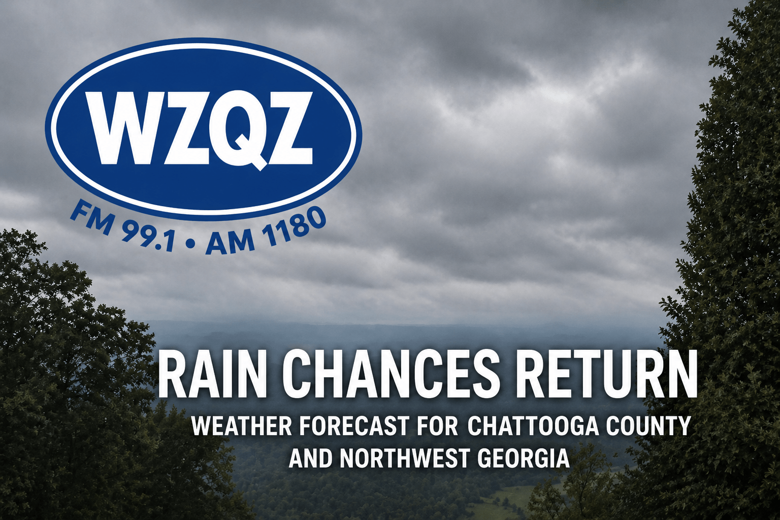
A cool and damp start to May is underway across Chattooga County and Northwest Georgia, with showers expected through the day as a weather system moves across the state.

A wet and unsettled weather pattern continues across the region today, bringing periods of showers, embedded thunderstorms, breezy conditions, and the possibility of stronger storms later tonight.
![]()
An unsettled weather pattern is moving into Chattooga County and Northwest Georgia this week, bringing several rounds of showers and thunderstorms and the potential for strong to severe storms.
![]()
Daily chances for showers and thunderstorms are expected across north and central Georgia over the next seven days, but forecasters say the rain is not expected to bring much meaningful improvement to ongoing drought conditions.
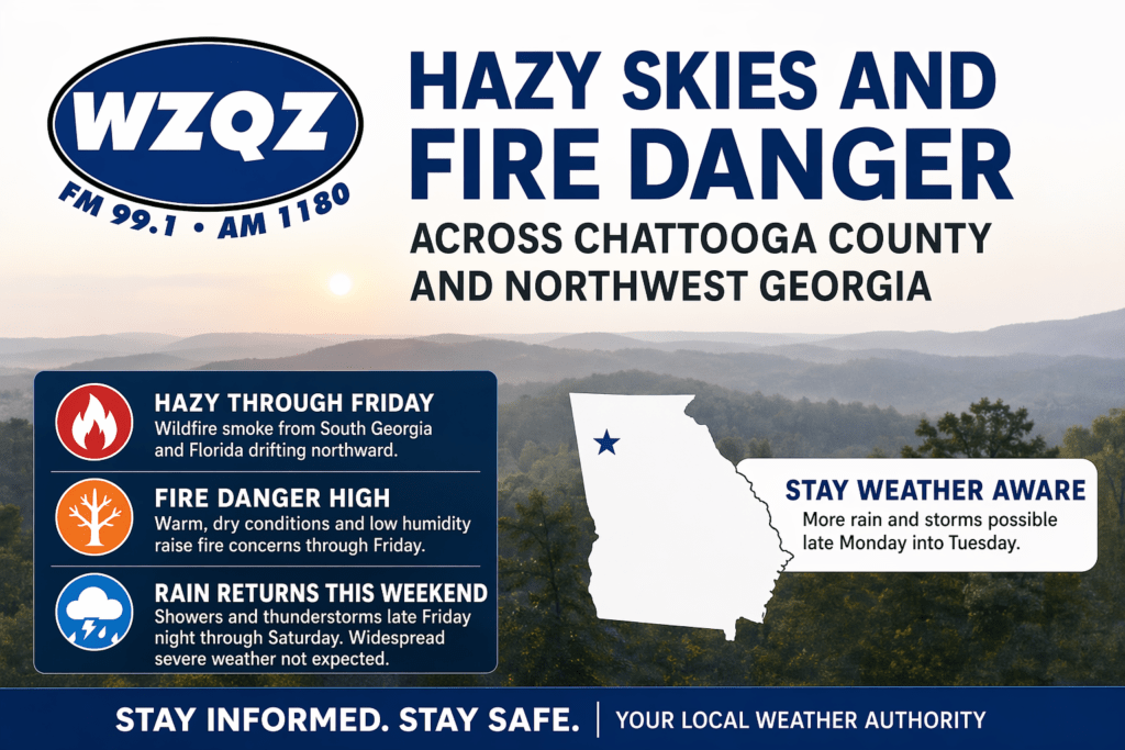
A stretch of hazy, dry, and unseasonably warm weather is gripping Chattooga County and much of Northwest Georgia, as wildfire smoke drifting north from South Georgia and Florida continues to impact air quality and visibility across the region.
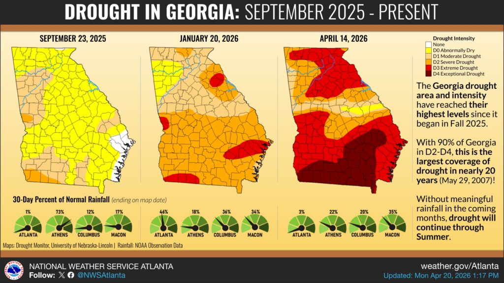
Drought conditions continue to intensify across Georgia, with new data showing much of the state now experiencing severe to extreme drought levels.
According to the National Weather Service in Atlanta, drought conditions have steadily worsened since last fall. Maps comparing conditions from September 2025 to now show a dramatic expansion of dry conditions, with nearly the entire state now impacted.
As of mid-April, about 90 percent of Georgia is classified in severe to exceptional drought, marking the largest coverage of drought in nearly 20 years.
Rainfall totals have been well below normal in recent months. In some areas, including parts of North Georgia, rainfall has dropped to just a fraction of typical levels, contributing to worsening soil moisture and increasing stress on crops, water supplies, and vegetation.
Locally, these dry conditions are already contributing to elevated fire danger across Chattooga County and Northwest Georgia, with officials urging residents to use caution with outdoor burning.
Forecasters say that without meaningful rainfall in the coming weeks, drought conditions are expected to persist and could continue into the summer months.
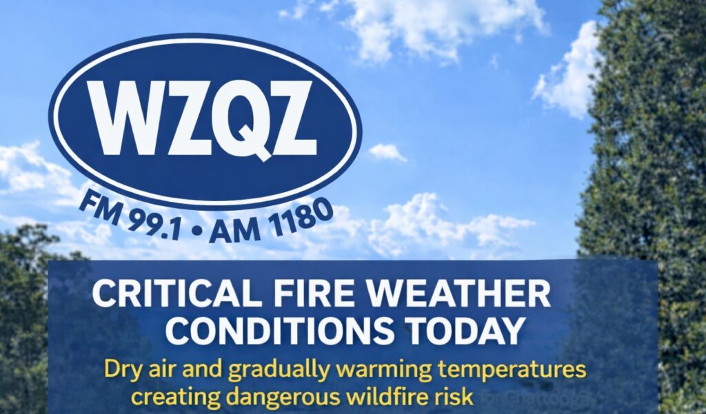
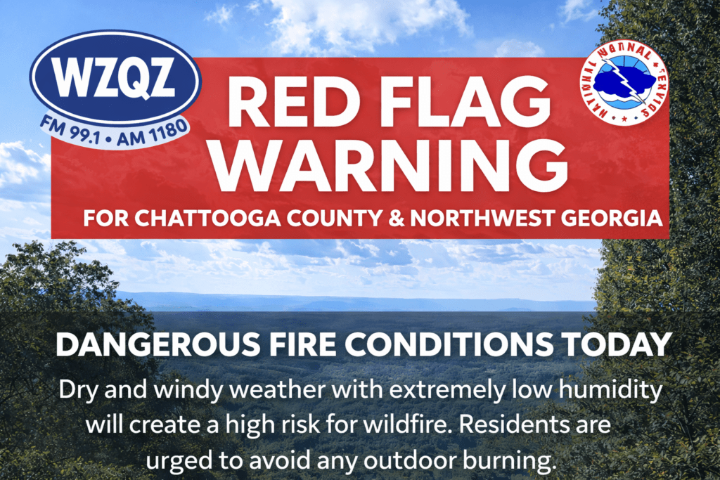
Dry air, clear skies, and gradually warming temperatures are creating dangerous fire weather conditions across Chattooga County and Northwest Georgia today, with concerns expected to continue through the rest of the work week.
A cold front moved into Northwest Georgia early Sunday, bringing only limited rainfall to Chattooga County and surrounding areas. While a few scattered showers passed through during the morning hours, most communities across the region are expected to receive very little rain, with many spots seeing less than a tenth of an inch. Even in the areas that pick up the most rainfall, totals are not expected to be enough to make a meaningful dent in the ongoing dry conditions.