


![]()
After a quiet start to the week, weather conditions are beginning to change across Chattooga County and northwest Georgia.

![]()
After a quiet start to the week, weather conditions are beginning to change across Chattooga County and northwest Georgia.

Residents across Chattooga County and Northwest Georgia can expect a return to wet weather as multiple rounds of showers move through the area today and into Saturday.
![]()
Residents across Chattooga County and Northwest Georgia are waking up to rounds of showers and a few embedded thunderstorms early Thursday, but conditions are expected to steadily improve as the day goes on.

A wet and unsettled weather pattern continues across the region today, bringing periods of showers, embedded thunderstorms, breezy conditions, and the possibility of stronger storms later tonight.

Northwest Georgia, including Chattooga County, is expected to see several days of unsettled weather as showers and thunderstorms move through the region over the coming week.
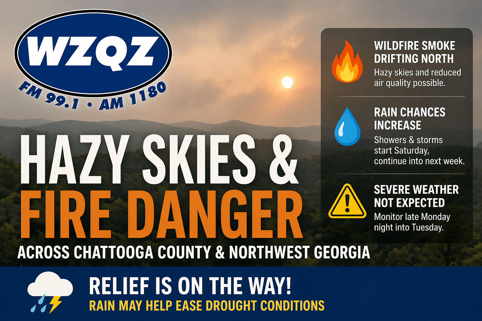
Chattooga County and much of Northwest Georgia will continue to deal with hazy skies today as wildfire smoke drifts north from South Georgia and North Florida. The smoke may create milky-looking skies and could lead to reduced air quality in some areas, especially where winds remain lighter.

Drought conditions continue to grip Chattooga County and much of Northwest Georgia, with little relief in sight even as rain moves into the forecast.
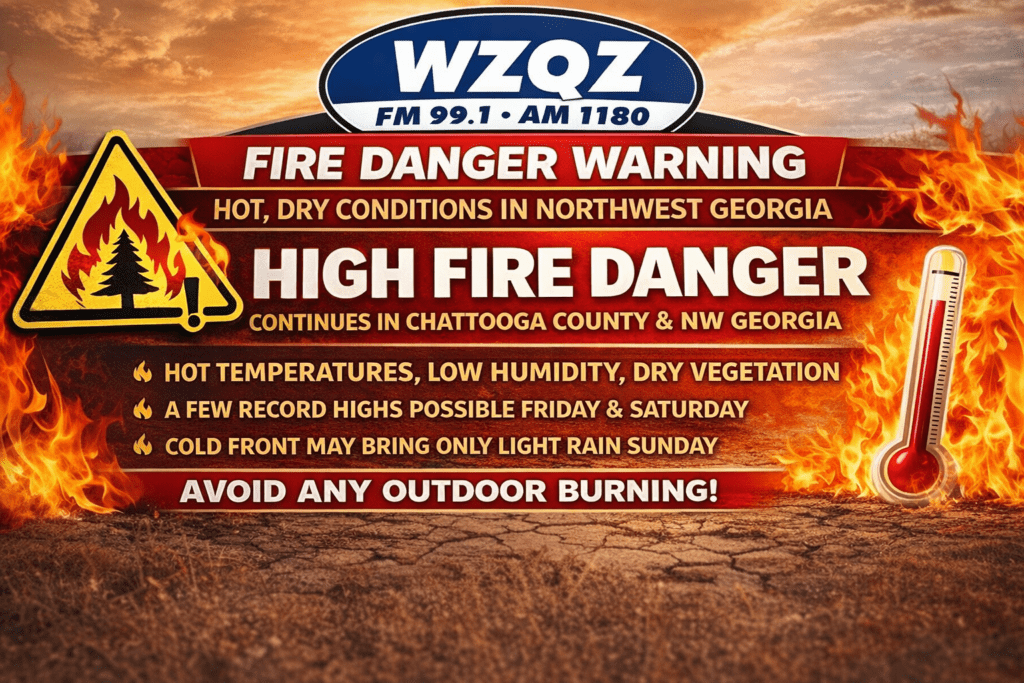
Chattooga County and the rest of Northwest Georgia are once again under heightened fire weather concerns as dangerously dry conditions and unusually hot temperatures continue through Saturday.
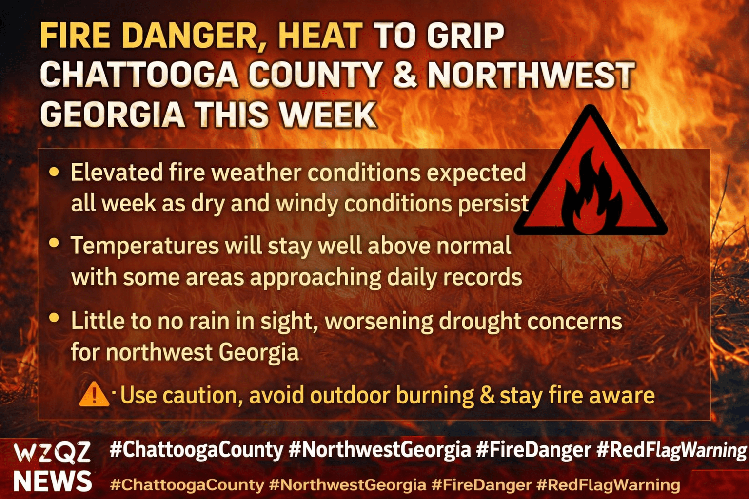
Chattooga County and the rest of northwest Georgia are expected to remain under elevated fire danger conditions this week as dry air, warm temperatures, and gusty winds continue across the region.
High fire danger conditions are expected to return across Chattooga County and much of Northwest Georgia today as very warm, dry weather continues to grip the region.
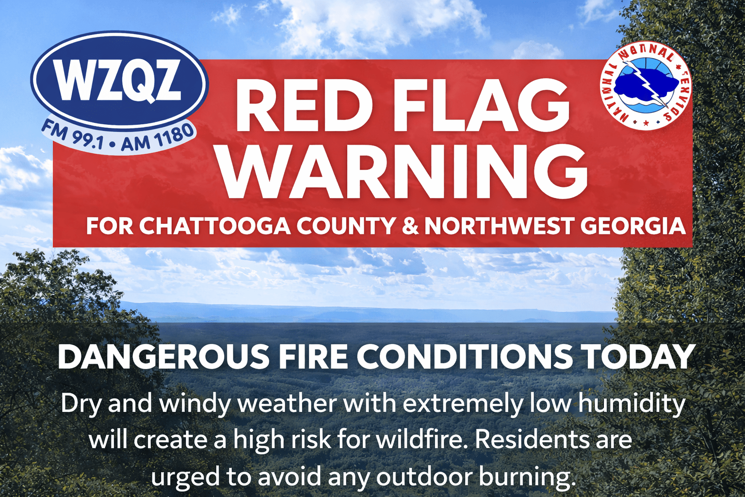
A Red Flag Warning has been issued for far north Georgia, including areas near Chattooga County, from noon through 8:00 p.m. Sunday. Officials say a combination of low humidity, dry vegetation, and breezy winds will create conditions where fires can start easily and spread quickly.