









Northwest Georgia, including Chattooga County, is expected to see several days of unsettled weather as showers and thunderstorms move through the region over the coming week.

Northwest Georgia, including Chattooga County, is expected to see several days of unsettled weather as showers and thunderstorms move through the region over the coming week.
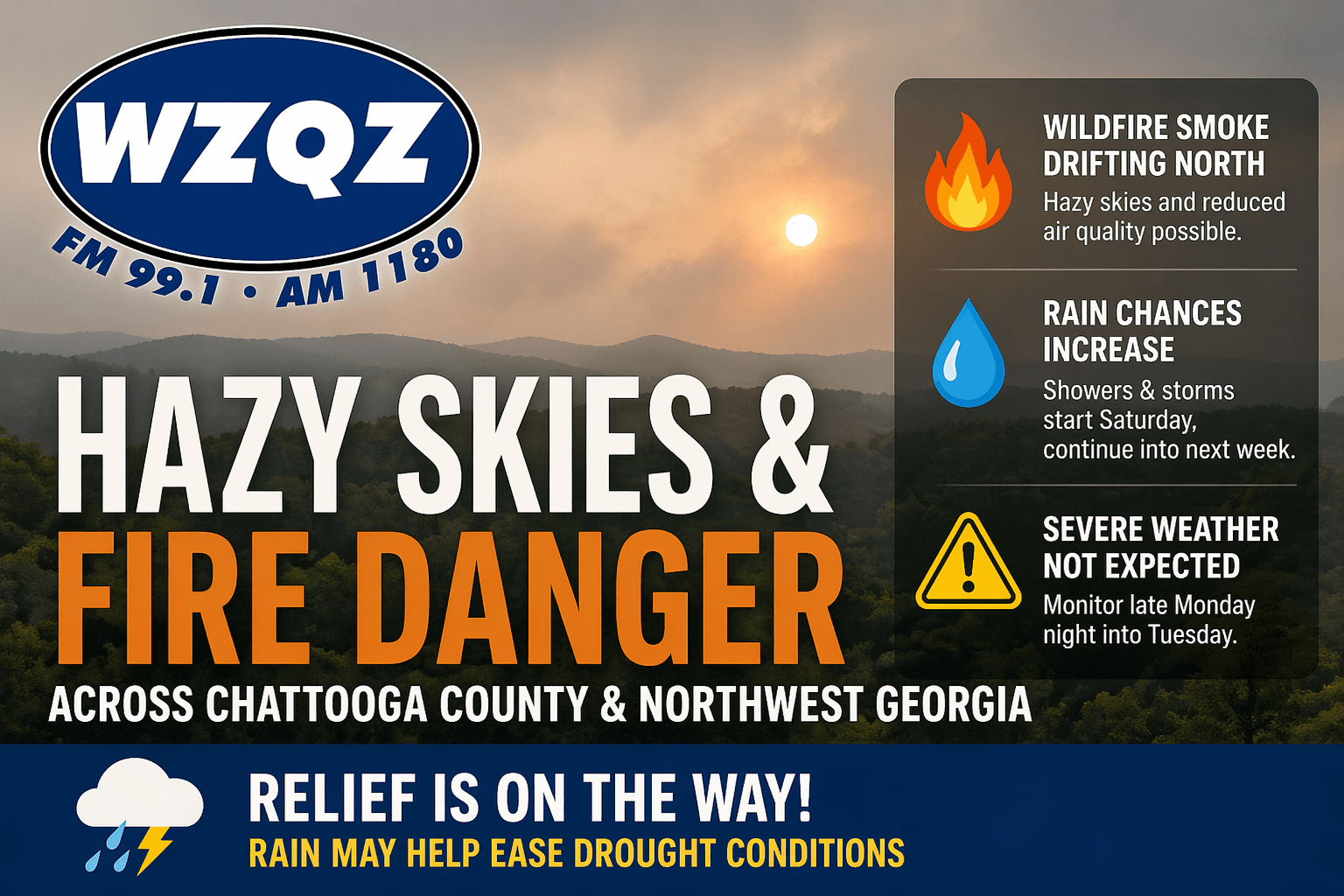
Chattooga County and much of Northwest Georgia will continue to deal with hazy skies today as wildfire smoke drifts north from South Georgia and North Florida. The smoke may create milky-looking skies and could lead to reduced air quality in some areas, especially where winds remain lighter.
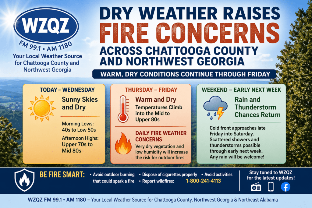
Residents across Chattooga County and the wider Northwest Georgia region can expect several more days of warm, dry weather, increasing the risk for outdoor fires through the end of the workweek.

Residents across Chattooga County and Northwest Georgia should prepare for another round of unseasonably hot, dry, and potentially dangerous conditions today, with temperatures climbing into the upper 80s and low 90s—levels that could tie or even break existing records.

Chattooga County and much of Northwest Georgia are waking up to a mild and slightly damp start this Tuesday, with brief sprinkles and patchy fog possible through the morning hours—especially in low-lying areas and near rivers and creeks. Little to no accumulation is expected, but reduced visibility could impact early travel.
A noticeable warm-up is underway across Chattooga County and Northwest Georgia, with springlike heat building Tuesday and daily rain chances settling in through the weekend.
A cold front moving through the region will bring a return to more seasonal temperatures across Chattooga County and Northwest Georgia by Tuesday, with only minimal rain expected in the short term.
Residents across Chattooga County and Northwest Georgia can expect one more day of unusually warm weather today before a cold front pushes temperatures back down early this week.
Residents across Chattooga County and the Northwest Georgia region should expect another round of scattered showers and thunderstorms this afternoon, though forecasters say severe weather is not expected at this time.
Chattooga County and the rest of Northwest Georgia are waking up to low clouds and patchy dense fog this Saturday morning, but brighter skies and unseasonably warm temperatures are on the way.