









Unseasonably warm weather will continue across Chattooga County and Northwest Georgia this week as a stalled front lingers across the region, bringing scattered morning showers and the chance for an isolated thunderstorm Tuesday.

Unseasonably warm weather will continue across Chattooga County and Northwest Georgia this week as a stalled front lingers across the region, bringing scattered morning showers and the chance for an isolated thunderstorm Tuesday.

Residents in Chattooga County and across Northwest Georgia can expect a stretch of unseasonably warm weather heading into the weekend and early next week, with temperatures running 15 to more than 20 degrees above normal for early March.
Residents across Chattooga County and Northwest Georgia can expect average to slightly above-average temperatures to continue through the weekend, along with several opportunities for rainfall and a few thunderstorms heading into Thursday and Friday.
Northwest Georgia is getting the coldest day of the week today as strong northwesterly winds keep a sharp chill in place even with sunshine overhead. Morning wind chills across Chattooga County and surrounding communities are running in the teens, with the coldest spots in the region dipping into the single digits, especially in higher elevations. High temperatures this afternoon will stay mostly in the 40s locally, while the mountains hold in the 30s, and it will still feel wintry through the day as breezy conditions continue.
Breezy northwest winds and a sharp drop in temperatures are impacting Chattooga County and much of Northwest Georgia today, with colder air expected to linger through Monday.
The National Weather Service has issued a Wind Advisory from 8 a.m. to 7 p.m. EST Sunday as a tight pressure gradient between a developing Nor’easter and high pressure over the Plains drives strong northwest winds across Georgia.
Keep the umbrella handy across Chattooga County and Northwest Georgia today as a weather system brings widespread rain showers with occasional thunderstorms. The steadiest rain is expected through the daytime hours, and while the more significant severe weather threat is aimed farther south in Georgia, brief heavier downpours and isolated lightning are still possible locally at times.
Chattooga County and Northwest Georgia can expect above-average to near-record high temperatures today and Friday before rain and possible strong storms move into the area this weekend.
Folks across Chattooga County and Northwest Georgia are waking up to a gray, chilly start this Thursday, February 5, 2026, with widespread low clouds hanging tough through the morning hours. A steady northwest breeze is adding an extra bite to the air, and temperatures early today are stuck in the 30s across much of the area. Even though the morning may feel damp and dreary, it’s not a rainy setup—just low clouds and cool air lingering behind the departing weather system.

An Extreme Cold Warning remains in effect through this afternoon for Chattooga County and much of north and central Georgia as a deep arctic air mass drives dangerously low wind chills across the region. Most of Chattooga County only saw a light dusting of snow, but higher elevations on Lookout Mountain picked up around 1 to 2 inches, and the bitter cold and gusty winds could keep slick spots lingering in a few areas. Temperatures trend warmer early this week, with rain chances returning midweek before another cool down.
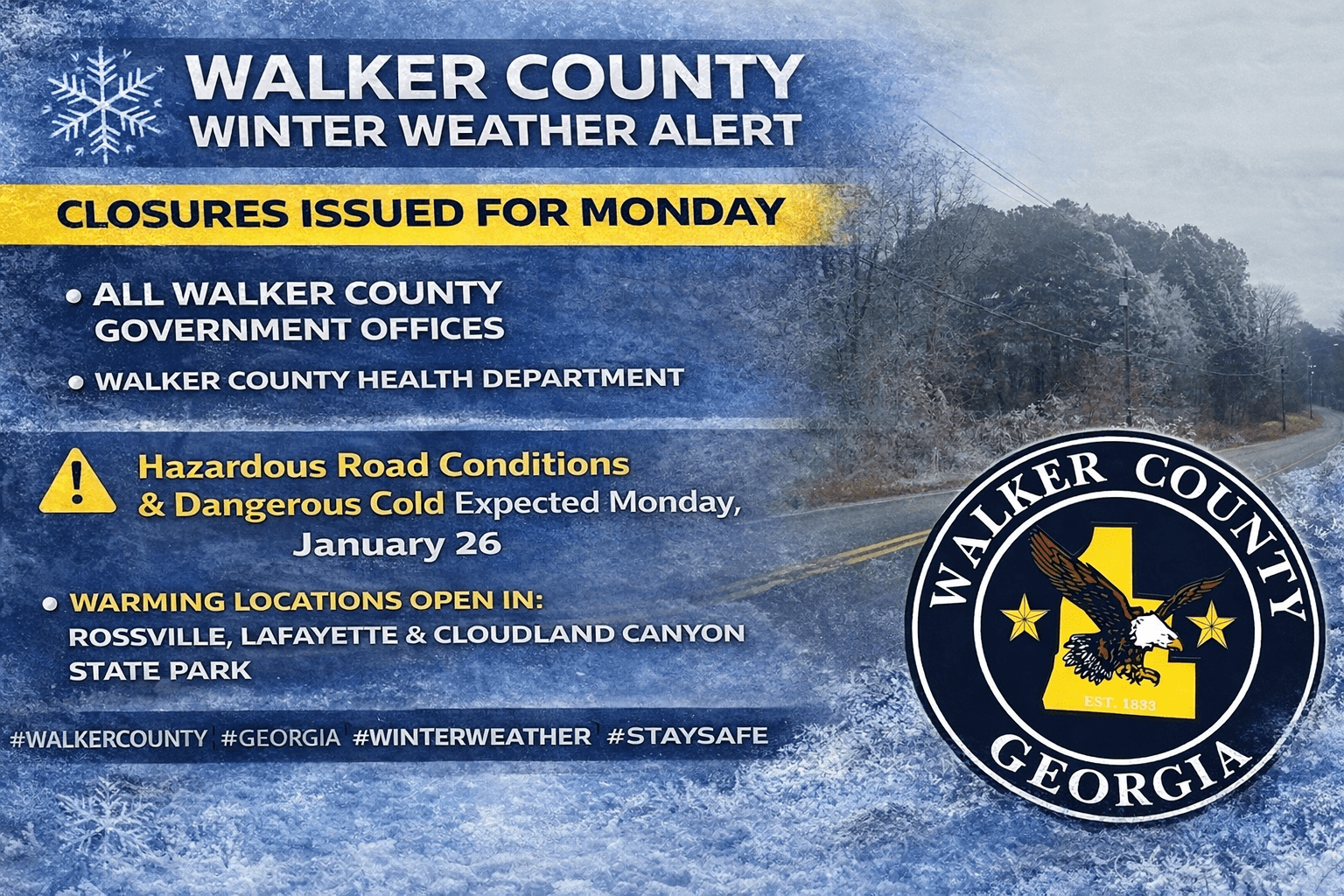
While most of Chattooga County avoided widespread icy conditions on Sunday—aside from some winter precipitation reported on Lookout Mountain—parts of Walker County were hit harder by the winter weather. Officials reported around 200 households without power on Sunday as the system moved through the area.
In response, several warming options were made available. Warming stations opened in Rossville and LaFayette, and Georgia State Parks opened a warming shelter at Cloudland Canyon State Park on Lookout Mountain to help residents needing a warm place during the cold snap.
Because of the continued threat of hazardous travel and dangerously cold temperatures, Walker County Government offices will be closed Monday, January 26. The closure includes county offices as well as the landfill and transit services.
In addition, the Walker County Health Department will also be closed Monday, January 26.