










Warm spring air, increasing humidity, and an approaching line of storms will make for an active weather day across Chattooga County and the surrounding Northwest Georgia region.

Warm spring air, increasing humidity, and an approaching line of storms will make for an active weather day across Chattooga County and the surrounding Northwest Georgia region.
Rain chances will stay fairly limited today across Chattooga County and the rest of Northwest Georgia, but a wetter pattern is expected to move in as the weekend continues.
Residents across Chattooga County and Northwest Georgia are waking up to patchy dense fog this morning, with visibility in some areas dropping to as low as half a mile. The fog is expected to linger through about 10 AM, especially in spots that saw rainfall yesterday, before gradually clearing.
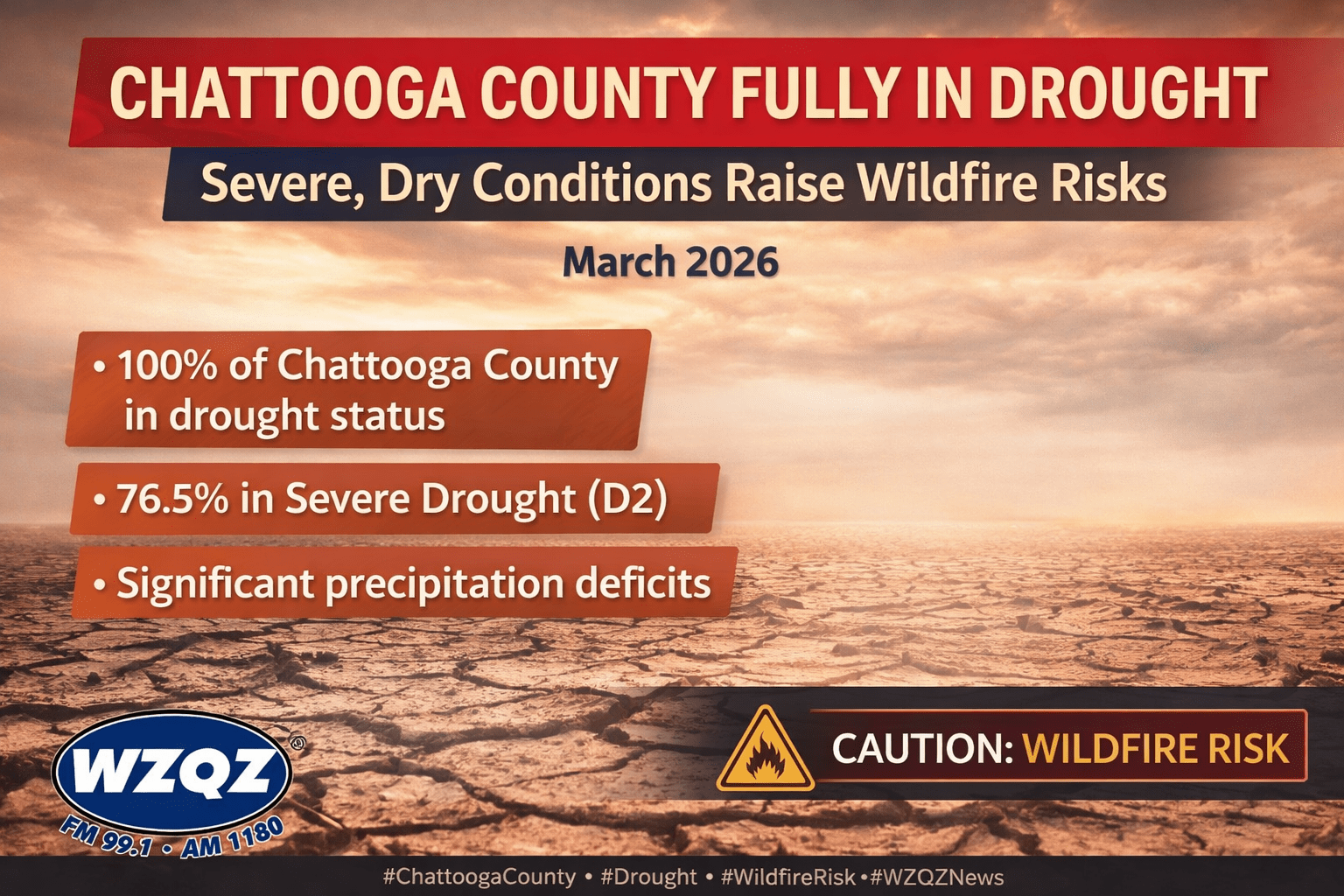
Chattooga County remains entirely under drought conditions as March comes to a close, highlighting the deepening dry pattern that continues to affect Northwest Georgia. The drought has become a growing concern for local communities, farmers, landowners, and emergency officials as rainfall deficits continue to build and the landscape becomes increasingly dry.
Residents across Chattooga County and Northwest Georgia can expect a stretch of quiet, sunny weather today, but officials are urging caution due to elevated fire danger conditions.

Fire officials are warning that high fire danger conditions are expected today, Sunday, across much of North Georgia, with the threat lasting from the morning hours into the evening.
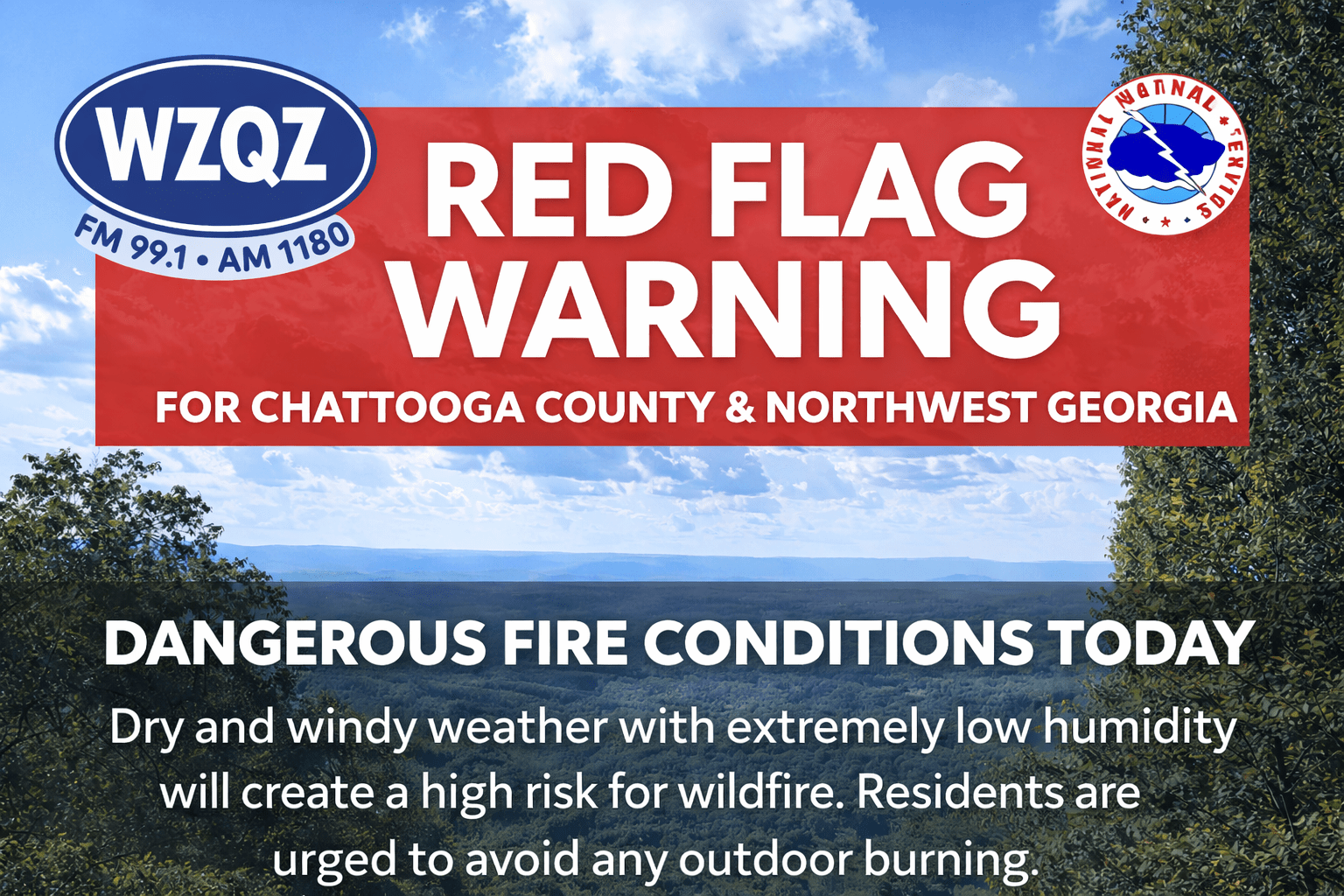
Residents across Chattooga County and the wider Northwest Georgia region are being urged to use extreme caution today as a Red Flag Warning remains in effect because of dangerous fire weather conditions.
Residents across Chattooga County and Northwest Georgia are preparing for a surge of unseasonably hot weather Friday, with temperatures expected to climb near record highs before a cool-down this weekend.
Residents across Chattooga County and Northwest Georgia can expect a week of temperature swings, with conditions bouncing from near-normal to well above normal before cooling off again this weekend.
Residents across Chattooga County and Northwest Georgia can expect mild and dry conditions through midweek, but officials are warning of an increased fire danger Tuesday afternoon into the evening.
A weak wedge of cooler air is settling into the region, bringing partly cloudy skies, gusty northeast winds, and seasonable temperatures in the mid to upper 60s. Behind a recent cold front, much drier air has moved in, dropping humidity levels into the 20–30% range.
Forecasters say areas north of I-20, including Northwest Georgia, could see relative humidity fall below 25% for several hours Tuesday. Combined with dry vegetation and breezy conditions, this has prompted a high fire danger alert for the region.
Conditions remain calm and dry into Wednesday, with little to no chance of rain. However, a warming trend begins later in the week, with temperatures climbing into the upper 70s and low 80s by Thursday.
A weak cold front could bring a slight chance of scattered showers to far north Georgia by Friday, but overall, quiet and seasonable weather is expected heading into the weekend.
Officials urge residents to avoid outdoor burning during peak fire danger periods and to use caution with anything that could spark a fire.