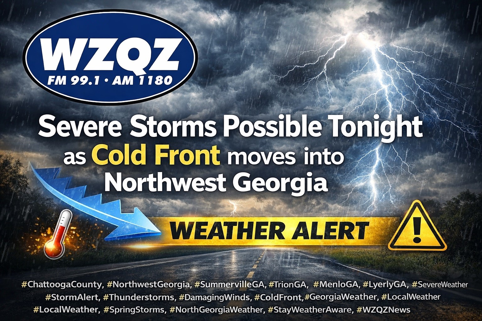
Update: Winter Storm Targets Georgia; Light Snow Possible in Chattooga, Floyd and Walker Counties as Dangerous Cold Arrives

A winter storm moving across parts of Tennessee, Georgia, and the Carolinas will be the main weather story over the next 24 to 48 hours, with widespread snowfall expected across portions of the region. Forecasters say confidence is high in the overall setup: an unusually strong upper-level low dropping out of Canada will drive a surge of Arctic air into the Southeast, while a surface low strengthens rapidly off the Georgia and South Carolina coast. As that coastal system intensifies, moisture will wrap back into Georgia, combining with lift from the upper-level low to produce snow—though where the western edge of the snow sets up remains one of the biggest uncertainties.

Read more

Growing Winter Storm Signal for the East This Weekend, Forecast Details Still Unclear

The potential is increasing for another significant winter storm to impact parts of the eastern United States this coming weekend. Forecasters emphasize it is still too early to pin down exact details, but confidence is growing that a storm system could develop and move through while very cold air remains in place.

Meteorologists say a disturbance is expected to move out of Canada later this week, helping a stronger low-pressure system form across the East. If that system tracks in the right corridor, it could bring widespread precipitation that may fall as rain, snow, or a mix, depending on where the coldest air sets up. The biggest uncertainties right now include the storm’s timing, track, and strength, which will determine what areas see the greatest impacts.

For Northwest Georgia and the surrounding region, the message for now is preparedness without panic. Residents should keep checking updated forecasts through the week, especially as we get closer to Friday and Saturday when forecast confidence typically improves. Now is also a good time to review weekend travel plans, make sure you have supplies in case of slick roads or power issues, and plan ahead for pets, pipes, and outdoor needs if colder, wetter conditions move in.

Warming Station Continues in Summerville Through Wednesday Morning as Ice Warning and Cold Advisory Remain in Effect

As frigid air settles into Chattooga County behind the weekend rain, volunteers with the Chattooga County Community Resource Center will continue operating a warming station at 150 Third Street in Summerville, located in the gym above the CRC Food Bank.

The warming station will remain available through Wednesday morning, January 28, 2026, and is scheduled to close at 9:00 a.m. that day.

The warming station hours are 5:00 p.m. to 9:00 a.m. Monday and Tuesday. If power outages occur, the site will transition to continuous operation to provide a safe, warm place for those who need it.

Chattooga County Public Works, city maintenance departments, and local law enforcement will continue monitoring road conditions and treating roadways as needed.

Residents are urged to stay weather-aware as dangerously cold conditions will be with us for the next couple of days.

Drivers should use caution if traveling, particularly this evening and overnight as temperatures drop.

Winter Weather Statement from Commissioner Andy Allan

COMMISSIONER OF CHATTOOGA COUNTY
P. O. Box 211
Summerville, Georgia 30747
Telephone (706) 857-0700
Fax (706) 857-0742
Ice Storm Warning for Chattooga County
Chattooga County, GA — Andy Allen, Chattooga County Commissioner, urges all residents to prepare now for a significant ice storm expected to begin Saturday afternoon, January 24, 2026, and continue into Sunday.
Unfortunately, if this is an all-ice event, it will delay emergency service responses and limit the availability of county work crews. Our public works department is in place, equipped, and ready to respond as conditions allow, but icy roads and hazardous conditions will slow operations and restrict access to some areas.
Please take the following precautions:
•  Stay informed. Monitor local news outlets for alerts and updates.
•  Remain at home. Travel will be dangerous; avoid driving unless it is an absolute emergency.
•  Prepare for outages. Be ready to be without power for a few days in the dangerous cold. Gather warm clothing, blankets, nonperishable food, water, flashlights, and a battery-powered radio or charged devices.
•  Check on neighbors. If it is safe to do so, check on elderly or vulnerable neighbors before the storm and after conditions improve.
Operational note: Only essential workers will report on Monday. Nonessential county offices and services may be delayed or closed until conditions are safe.
Our crews are ready and working to keep the community safe, but your best protection is to stay home and stay informed. Please take this storm seriously and prepare now.
Andy Allen
Sole Commissioner Chattooga County

Chattooga County EMA 911 Reports Cell Provider Issue Affecting Non-Emergency Lines

Chattooga County EMA 911 says some customers with certain cell phone providers may currently have trouble reaching the agency on its non-emergency phone lines. Officials say the issue has been reported, but until service is restored, residents who need to contact EMA 911 should use one of the following numbers: 706-578-2244, 706-591-3012, or 706-728-4409.

For emergencies, residents should continue to dial 911.

City of Summerville Shares Tips to Prevent Frozen Pipes as Freezing Temperatures Move In

With freezing temperatures in the forecast, the City of Summerville is urging residents to take a few simple steps now to help prevent frozen and bursting pipes during the cold snap.

City officials recommend dripping faucets with a very thin stream of water — about the size of a pencil lead — especially for fixtures on exterior walls. Residents are also encouraged to open kitchen and bathroom cabinet doors so warmer indoor air can circulate around plumbing that may be tucked against outside walls.

Another important step is disconnecting garden hoses from outdoor spigots. If available, insulated foam covers can also be placed over exterior faucets to help reduce freezing risk. The city also reminds households to make sure everyone knows where the main water shut-off valve is located, so water can be turned off quickly if a pipe bursts.

For questions or assistance, residents can contact the City of Summerville at 706-859-0900.

Chilly Start, Dry Air Raises Fire Concerns as Northwest Georgia Eyes Possible Mountain Snow Midweek

A noticeably cooler and drier pattern is settling over Georgia to start the week, bringing brisk mornings to Chattooga County and Northwest Georgia while also fueling heightened fire-danger concerns elsewhere in the state today and Tuesday.

Read more

Rainy Saturday for Chattooga County and Northwest Georgia

Northwest Georgia will stay wet today as widespread rain continues through the morning and into the evening.

Read more

Warm Through Weekend Before Monday Cold Front

Chattooga County and Northwest Georgia will keep a springlike feel through the weekend as unusually warm air remains in place, pushing temperatures 15 to 25 degrees above normal.

Read more

Record-Warm Stretch Builds Over Chattooga County; Rain Chance Returns Sunday Ahead of Strong Cold Front

A late-December warmup is taking hold across Chattooga County and Northwest Georgia today (Tuesday, December 23, 2025) as clouds gradually thin and temperatures climb into the upper 60s — with a few spots flirting with 70 degrees by afternoon.

Read more