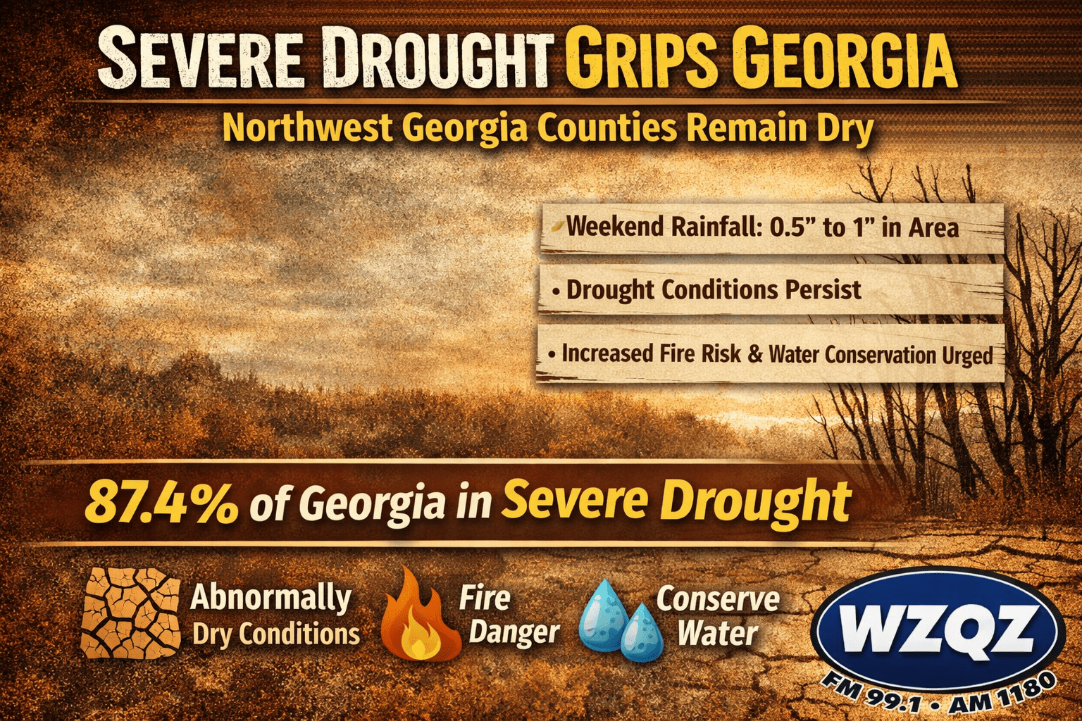
Drought conditions continue to grip Georgia, with 87.4% of the state now classified under at least D2 (Severe Drought) conditions — the highest statewide coverage seen since October 2011. While weekend rainfall brought measurable totals to parts of the state, it is not expected to significantly improve overall drought conditions.
Breezy northwest winds and a sharp drop in temperatures are impacting Chattooga County and much of Northwest Georgia today, with colder air expected to linger through Monday.
The National Weather Service has issued a Wind Advisory from 8 a.m. to 7 p.m. EST Sunday as a tight pressure gradient between a developing Nor’easter and high pressure over the Plains drives strong northwest winds across Georgia.
Keep the umbrella handy across Chattooga County and Northwest Georgia today as a weather system brings widespread rain showers with occasional thunderstorms. The steadiest rain is expected through the daytime hours, and while the more significant severe weather threat is aimed farther south in Georgia, brief heavier downpours and isolated lightning are still possible locally at times.
Residents across Chattooga County and Northwest Georgia are heading into a stretch of dry, breezy weather that could elevate fire danger this weekend, followed by a noticeable warm-up as next week begins.
Chattooga County and the rest of Northwest Georgia are under elevated fire danger today due to very low humidity and dry air combining with northwest winds this afternoon and evening, while a separate storm system later this week may bring rain and an increasing risk of impactful wintry weather over the weekend.
Sunshine rules the day across Chattooga County and Northwest Georgia, as temperatures stay below freezing through the early morning with lows in the low 20s and even upper teens in the higher elevations. While the biggest black ice concern is tied to places that still have leftover moisture from yesterday’s precipitation, drivers around northwest Georgia should still be cautious on bridges, shaded roads, and spots that don’t see early sunlight. The good news is that ample sunshine will help temperatures rebound quickly, pushing readings above freezing by mid-morning and fading any lingering slick-spot risk before late morning.
Chattooga County and the rest of Northwest Georgia are in for a blustery, sharply colder day Thursday, January 15, 2026, as dry air pours in behind a cold front. Forecasters say northwest wind gusts of 20–30 mph will combine with very low humidity this afternoon, creating elevated fire danger conditions across North and Central Georgia.
Very dry air will elevate wildfire danger this afternoon across Chattooga County and Northwest Georgia, with relative humidity expected to drop below critical levels (near or under 25%) while vegetation and fine fuels continue drying. Even though winds won’t be extreme, the combination of low humidity and dry fuels can allow any spark to spread quickly—so it’s a good day to avoid outdoor burning and be extra careful with anything that produces heat or embers.
A noticeably cooler and drier pattern is settling over Georgia to start the week, bringing brisk mornings to Chattooga County and Northwest Georgia while also fueling heightened fire-danger concerns elsewhere in the state today and Tuesday.
Mostly sunny and dry conditions will continue across Middle Georgia and parts of north Georgia through Thursday, bringing an elevated fire danger this afternoon due to very low relative humidity. Officials have issued a Fire Danger Statement as humidity values drop to 25 percent or lower in some areas, increasing the risk of wildfires despite cool temperatures.