










Northwest Georgia will get a little break from the heavier coverage of showers and storms today and Thursday, but the rainy pattern is far from over.

Northwest Georgia will get a little break from the heavier coverage of showers and storms today and Thursday, but the rainy pattern is far from over.

Residents across Chattooga County and Northwest Georgia can expect a dry, breezy day today as post-frontal air settles into the region. Forecasters say clear skies will allow for plenty of daytime mixing, which will help produce gusty northwest winds through the afternoon.
After a quiet start to the week, weather conditions are beginning to change across Chattooga County and northwest Georgia.
Northwest Georgia will see a stretch of warm, quiet weather to start the week, but conditions are expected to change by midweek as a storm system moves into the region.
Northwest Georgia, including Chattooga County, is expected to see several days of unsettled weather as showers and thunderstorms move through the region over the coming week.
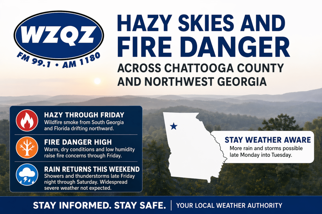
A stretch of hazy, dry, and unseasonably warm weather is gripping Chattooga County and much of Northwest Georgia, as wildfire smoke drifting north from South Georgia and Florida continues to impact air quality and visibility across the region.
A cold front moved into Northwest Georgia early Sunday, bringing only limited rainfall to Chattooga County and surrounding areas. While a few scattered showers passed through during the morning hours, most communities across the region are expected to receive very little rain, with many spots seeing less than a tenth of an inch. Even in the areas that pick up the most rainfall, totals are not expected to be enough to make a meaningful dent in the ongoing dry conditions.
Residents across Chattooga County and the broader Northwest Georgia region are being urged to use extreme caution this weekend as a Fire Weather Watch goes into effect Saturday due to dangerous conditions.
A cold front that brought showers and thunderstorms across Chattooga County and Northwest Georgia early Thursday morning is expected to move out of the area by early afternoon, leaving gusty winds and cooler air behind.
Chattooga County and the broader Northwest Georgia region are expected to see widespread showers and thunderstorms today and tonight as a cold front pushes through the state.