


![]()
Residents across Chattooga County and Northwest Georgia are preparing for a surge of unseasonably hot weather Friday, with temperatures expected to climb near record highs before a cool-down this weekend.

![]()
Residents across Chattooga County and Northwest Georgia are preparing for a surge of unseasonably hot weather Friday, with temperatures expected to climb near record highs before a cool-down this weekend.
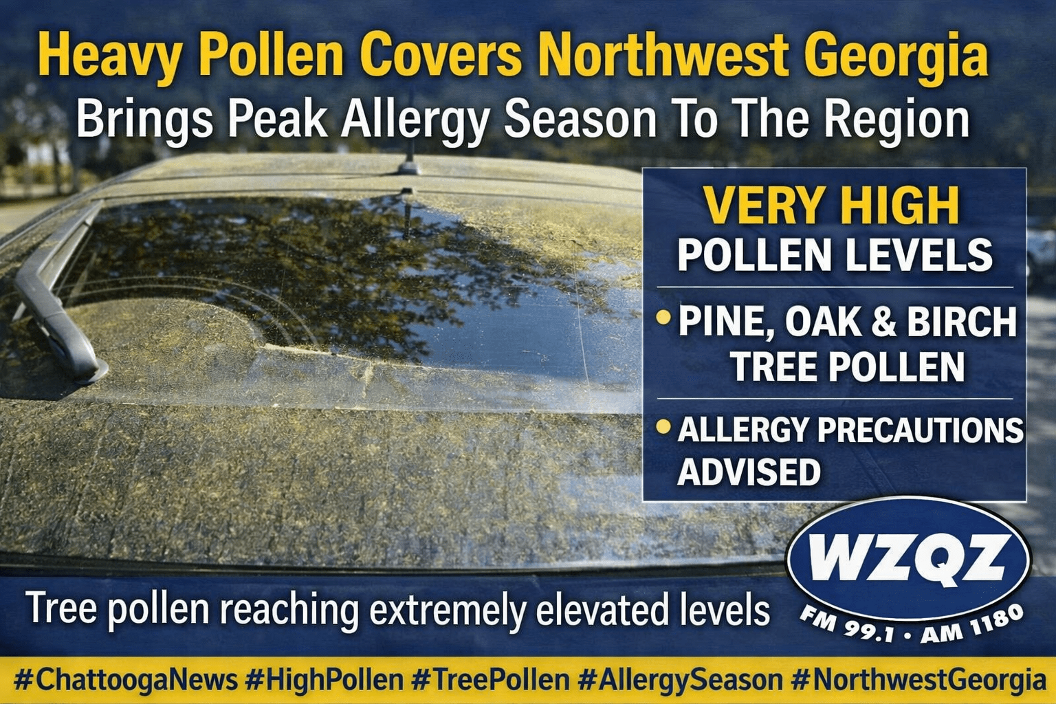
If your car looks yellow this week, you’re definitely not imagining it. Pollen levels across Chattooga County and Northwest Georgia are currently very high, with tree pollen reaching peak levels in late March and leaving a visible coating on cars, porches, patios, and outdoor furniture.
![]()
A cold front moving through the region will bring a return to more seasonal temperatures across Chattooga County and Northwest Georgia by Tuesday, with only minimal rain expected in the short term.
![]()
A noticeable warm-up is settling into Chattooga County and the rest of Northwest Georgia, with temperatures expected to climb a little higher each day through the weekend. After the recent stretch of chilly mornings and frosty conditions, temperatures are now turning sharply warmer, bringing a much more springlike pattern to the region.
![]()
Residents across Chattooga County and Northwest Georgia should prepare for another hard freeze tonight into Wednesday morning, as temperatures remain well below normal for mid-March.

Strong to severe thunderstorms were moving through Chattooga County and Northwest Georgia early Monday morning, bringing the threat of damaging winds and a few brief tornadoes as a powerful squall line pushes across the region.
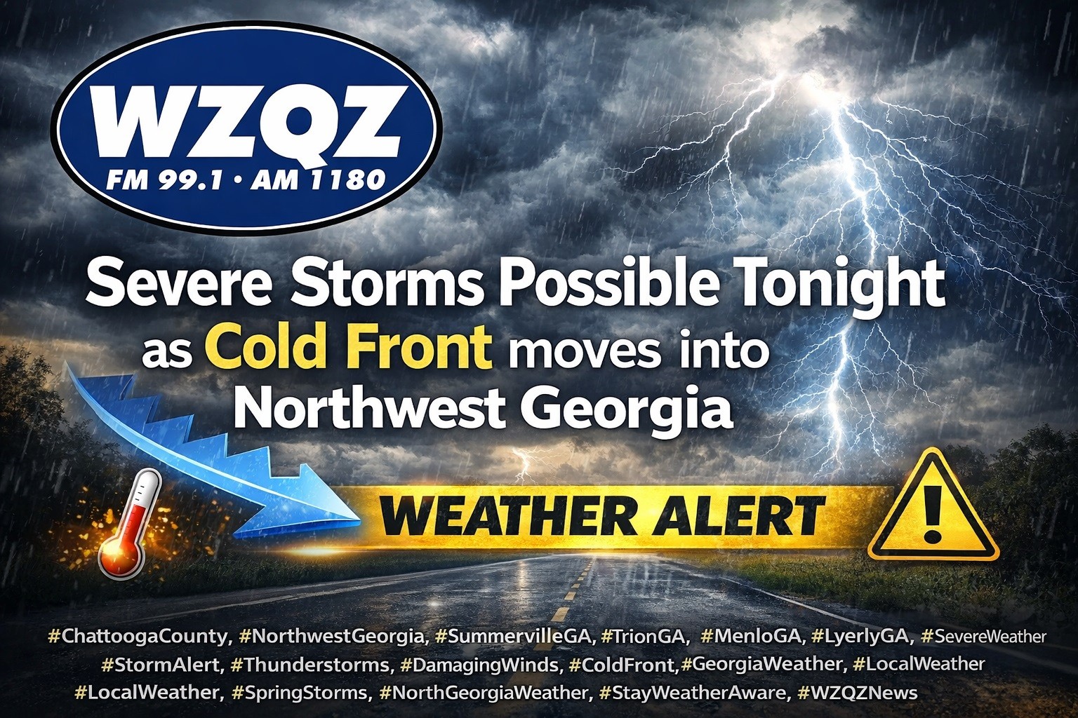
A cold front is expected to sweep through Chattooga County and Northwest Georgia late this evening into early Thursday, bringing widespread showers and thunderstorms, with some storms possibly becoming strong to severe.
Unseasonably warm weather will continue across Chattooga County and Northwest Georgia this week as a stalled front lingers across the region, bringing scattered morning showers and the chance for an isolated thunderstorm Tuesday.
Residents across Chattooga County and the Northwest Georgia region should expect another round of scattered showers and thunderstorms this afternoon, though forecasters say severe weather is not expected at this time.
