


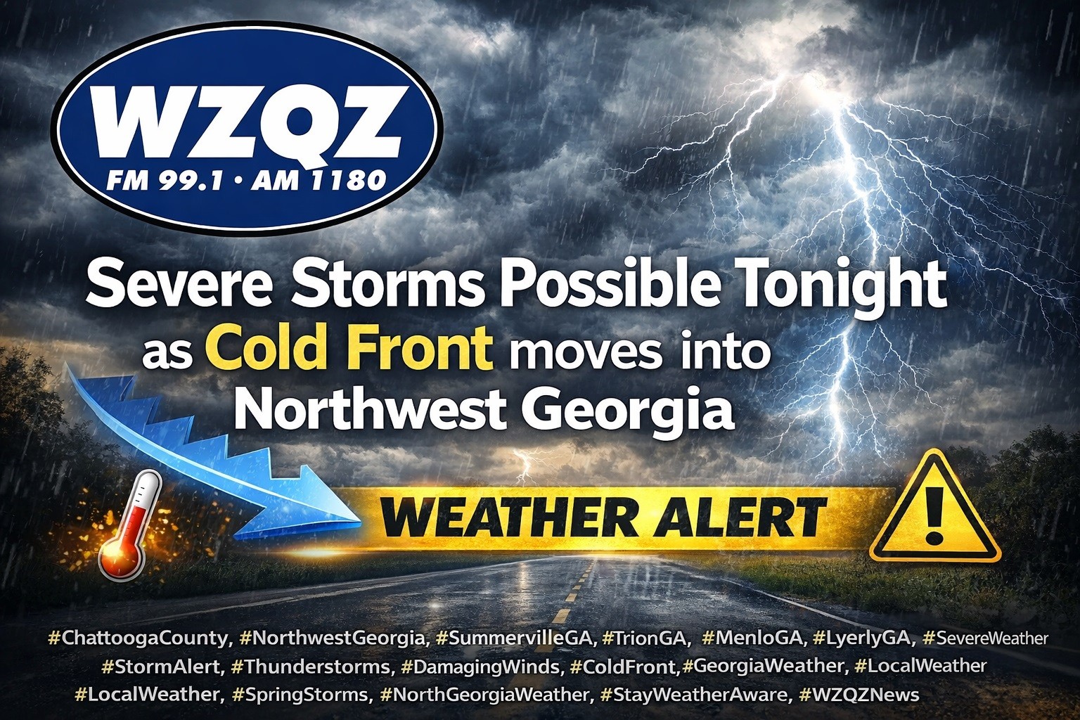
A cold front is expected to sweep through Chattooga County and Northwest Georgia late this evening into early Thursday, bringing widespread showers and thunderstorms, with some storms possibly becoming strong to severe.

A cold front is expected to sweep through Chattooga County and Northwest Georgia late this evening into early Thursday, bringing widespread showers and thunderstorms, with some storms possibly becoming strong to severe.

Unseasonably warm weather will continue across Chattooga County and Northwest Georgia this week as a stalled front lingers across the region, bringing scattered morning showers and the chance for an isolated thunderstorm Tuesday.

A Dense Fog Advisory remains in effect until 11 a.m. Monday for parts of Northwest Georgia, including Chattooga County, with visibility falling to one-quarter mile or less in some locations.
The fog is expected to create hazardous driving conditions through the morning hours, especially on back roads and in low-lying areas. Drivers are urged to slow down, use headlights, and leave extra distance between vehicles.
Residents across Chattooga County and the Northwest Georgia region should expect another round of scattered showers and thunderstorms this afternoon, though forecasters say severe weather is not expected at this time.

Chattooga County and the rest of Northwest Georgia are heading into a stretch of unusually hot and unsettled weather, with temperatures running 15 to more than 20 degrees above normal through the next several days.
Residents in Chattooga County and across Northwest Georgia can expect a stretch of unseasonably warm weather heading into the weekend and early next week, with temperatures running 15 to more than 20 degrees above normal for early March.
Residents across Chattooga County and Northwest Georgia can expect average to slightly above-average temperatures to continue through the weekend, along with several opportunities for rainfall and a few thunderstorms heading into Thursday and Friday.
Residents across Chattooga County and Northwest Georgia will see a warming trend today through Wednesday, but dry air and low humidity are creating an increased risk for wildfires.
Northwest Georgia is getting the coldest day of the week today as strong northwesterly winds keep a sharp chill in place even with sunshine overhead. Morning wind chills across Chattooga County and surrounding communities are running in the teens, with the coldest spots in the region dipping into the single digits, especially in higher elevations. High temperatures this afternoon will stay mostly in the 40s locally, while the mountains hold in the 30s, and it will still feel wintry through the day as breezy conditions continue.
Breezy northwest winds and a sharp drop in temperatures are impacting Chattooga County and much of Northwest Georgia today, with colder air expected to linger through Monday.
The National Weather Service has issued a Wind Advisory from 8 a.m. to 7 p.m. EST Sunday as a tight pressure gradient between a developing Nor’easter and high pressure over the Plains drives strong northwest winds across Georgia.