










A noticeable warm-up is underway across Chattooga County and Northwest Georgia, with springlike heat building Tuesday and daily rain chances settling in through the weekend.

A noticeable warm-up is underway across Chattooga County and Northwest Georgia, with springlike heat building Tuesday and daily rain chances settling in through the weekend.
A cold front moving through the region will bring a return to more seasonal temperatures across Chattooga County and Northwest Georgia by Tuesday, with only minimal rain expected in the short term.
A stretch of unseasonably warm and dry weather is expected to continue across Chattooga County and the rest of northwest Georgia through the weekend and into early next week.
A noticeable warm-up is settling into Chattooga County and the rest of Northwest Georgia, with temperatures expected to climb a little higher each day through the weekend. After the recent stretch of chilly mornings and frosty conditions, temperatures are now turning sharply warmer, bringing a much more springlike pattern to the region.
Residents across Chattooga County and Northwest Georgia should prepare for another hard freeze tonight into Wednesday morning, as temperatures remain well below normal for mid-March.
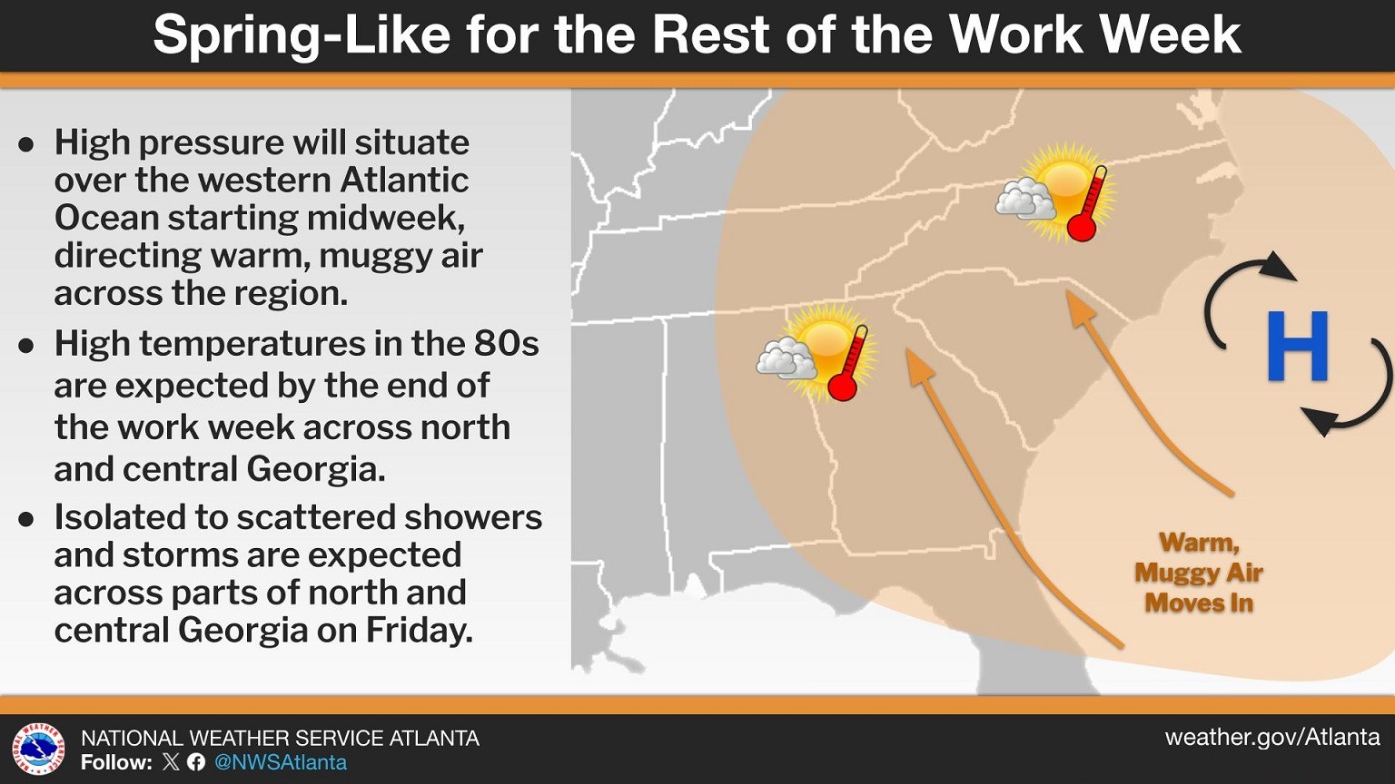
Residents across Chattooga County and Northwest Georgia are waking up to cloudy skies and areas of patchy fog this morning as warm, moist air moves into the region. Forecasters say a weakening wedge of high pressure has shifted toward the Atlantic, forming more of a Bermuda high pattern. This setup is allowing southeasterly winds to bring warmer and more humid air into the area, gradually pushing temperatures well above normal for early March.
Chattooga County and the broader Northwest Georgia region are expected to see widespread showers and thunderstorms today and tonight as a cold front pushes through the state.
Residents across Chattooga County and Northwest Georgia can expect average to slightly above-average temperatures to continue through the weekend, along with several opportunities for rainfall and a few thunderstorms heading into Thursday and Friday.
Chattooga County and the rest of Northwest Georgia will enjoy dry and mild conditions through Saturday, with afternoon highs generally reaching the 60s. Higher elevations may remain in the 40s and 50s, but overall temperatures will stay above seasonal averages.
Residents across Chattooga County and Northwest Georgia are dealing with a mix of cold, wind, and fire weather concerns this weekend as a Fire Danger Statement remains in effect for much of north and east central Georgia on Saturday.